


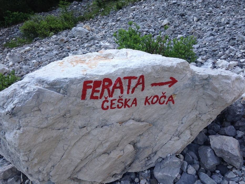
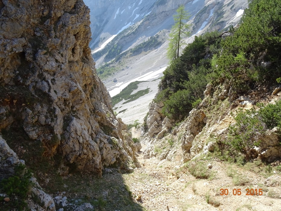
Diese Wanderung führt über den neuen Klettesteig. Klettersteigset mit Helm nicht vergessen.
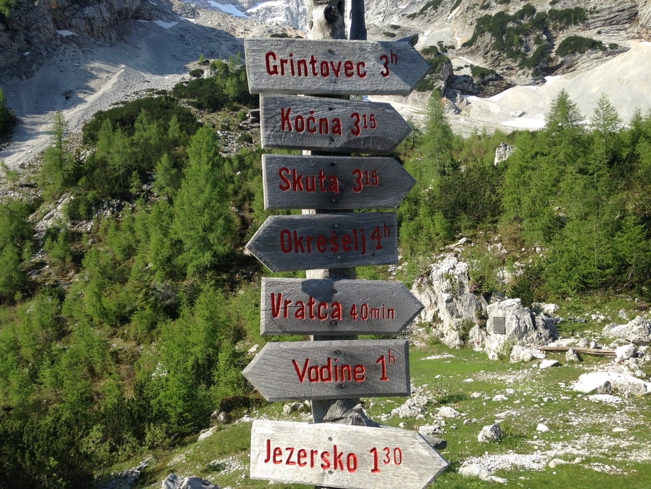
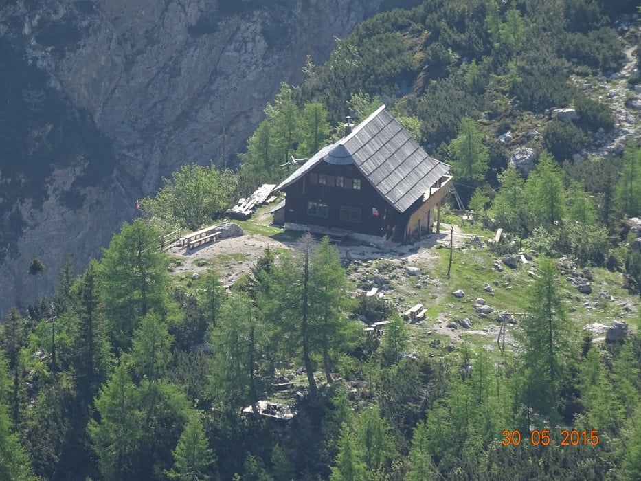
Vom Parkplatz Richtung Materialseilbahn. Dort der Beschilderung folgen. Der Klettersteig ist ca. 250HM. Nach ca. 1:30 erreicht man die Tschechische Hütte. Von dort weiter auf die Vratca ca 40 min. Zurück zum Parkplatz geht es über den Wanderweg.
Tour gallery
Tour map and elevation profile
Minimum height 1014 m
Maximum height 1815 m
More about the tour author
|
|
hermannkescher |
Comments

Über den Seebergsattel nach Jezersko. Etwas nach der Kirche links abbiegen und vor dem See rechts der schmalen Straße folgen. Bis zum großen Parkplatz.
GPS tracks
Trackpoints-
GPX / Garmin Map Source (gpx) download
-
TCX / Garmin Training Center® (tcx) download
-
CRS / Garmin Training Center® (crs) download
-
Google Earth (kml) download
-
G7ToWin (g7t) download
-
TTQV (trk) download
-
Overlay (ovl) download
-
Fugawi (txt) download
-
Kompass (DAV) Track (tk) download
-
Track data sheet (pdf) download
-
Original file of the author (tcx) download
More about the tour author
|
|
hermannkescher |
Add to my favorites
Remove from my favorites
Edit tags
Open track
My score
Rate