


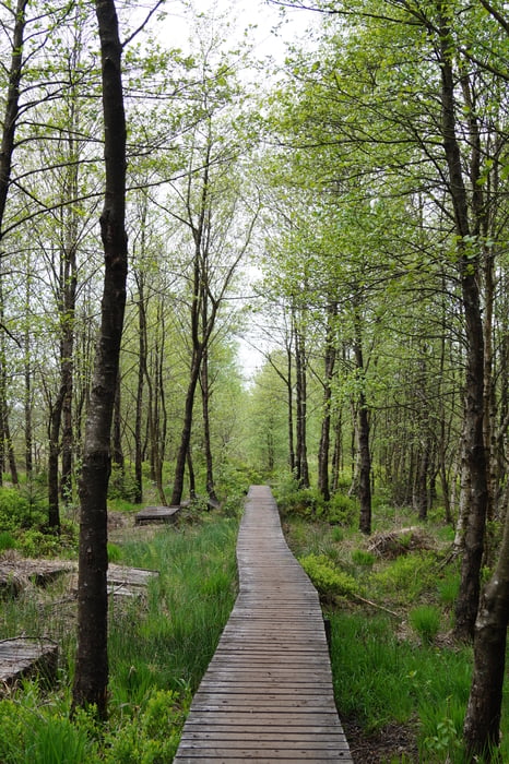
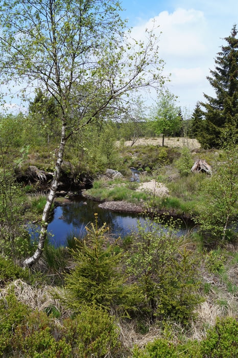
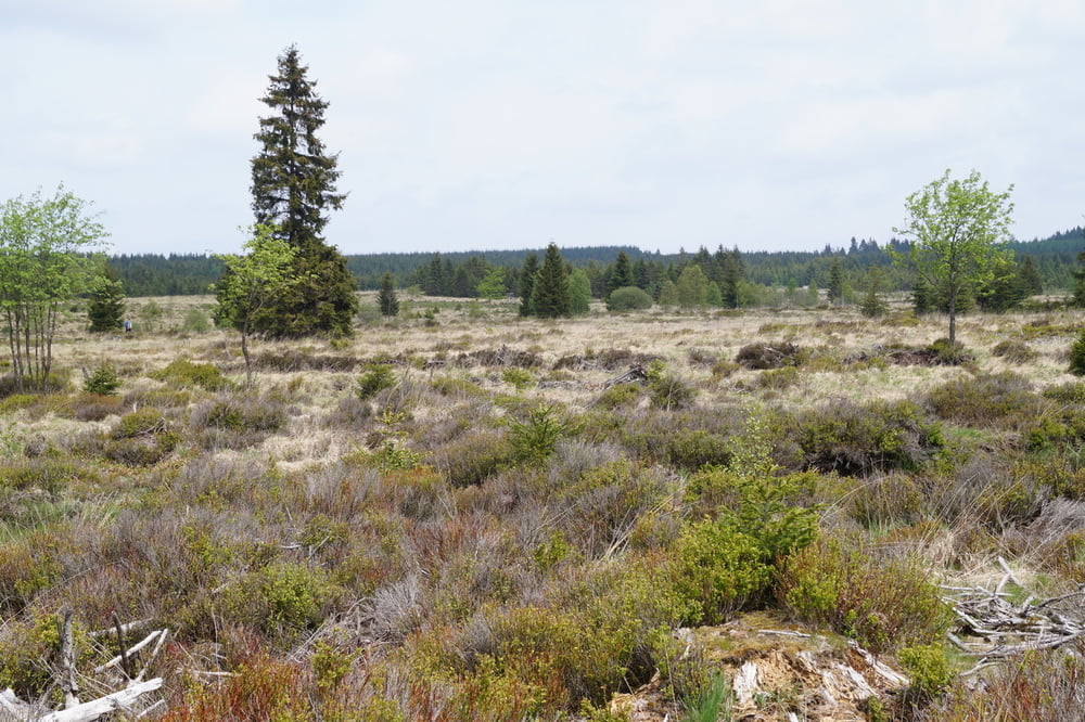
Der achtförmige Rundweg beginnt und endet an der Baraque Michel im belgischen Teil des Hohen Venns. Von hier geht's über Holzstege, Wald- und Feldwege durch eine wunderschöne Hochmoorlandschaft. Der Weg ist durchgehend mit einem grünen Rechteck markiert, so dass die Orientierung fast immer leicht fällt.
Tour gallery
Tour map and elevation profile
Minimum height 556 m
Maximum height 677 m
More about the tour author
|
|
sstraesser |
Comments

Von Deutschland mit dem Auto kommend findet sich der Ausgangspunkt nicht zu verfehlen auf der Landstraße N68 zwischen Eupen und Malmedy.
GPS tracks
Trackpoints-
GPX / Garmin Map Source (gpx) download
-
TCX / Garmin Training Center® (tcx) download
-
CRS / Garmin Training Center® (crs) download
-
Google Earth (kml) download
-
G7ToWin (g7t) download
-
TTQV (trk) download
-
Overlay (ovl) download
-
Fugawi (txt) download
-
Kompass (DAV) Track (tk) download
-
Track data sheet (pdf) download
-
Original file of the author (gpx) download
More about the tour author
|
|
sstraesser |
Add to my favorites
Remove from my favorites
Edit tags
Open track
My score
Rate