


Eine Ideale Tour, um der Gluthitze auf Seehöhe zumindest etwas zu entkommen. Gestartet wird in Vesio auf dem Parkplatz, wo man sich noch frischem, gekühltem Wasser (mit oder ohne Gas) versorgen kann.
Die ersten Kilometer gehen Flach ins Tal hinein und anschließend immer der Strasse entlang auf Asphalt hinauf zum Passo Nota. Am Pass angelant erwartet einem eine idyllische Almlandschaft mit Kühen und einer bewirtschafteten Hütte: Refugio Alpini Passo Nota.
Hier kann man einkehren und sich mit einfacher Küche stärken. Danach fährt man weiter den Track entlang auf einem Schotterweg. Anfangs eher flach mündet man in einem steileren, fahrtechnisch anspruchsvolleren Teil der Strecke. Dabei passiert man einige Tunnels. Man bleibt ständig auf dem gleichen Weg und gelangt so wieder zum Ausgangspunkt, dem Parkplatz, zurück.
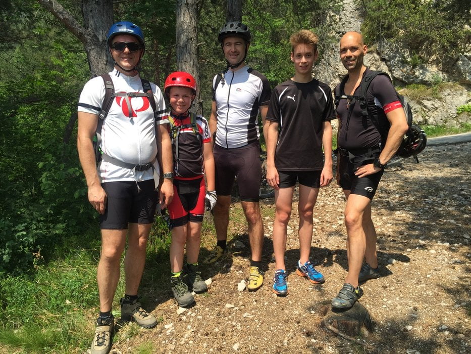
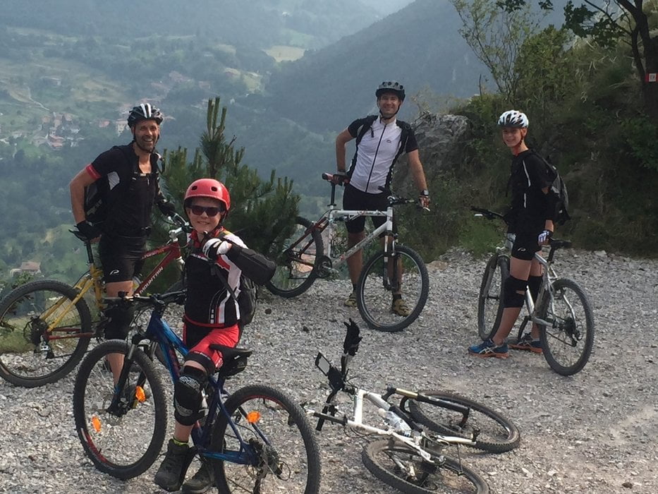
Tour gallery

Tour map and elevation profile
Minimum height 629 m
Maximum height 1328 m
More about the tour author
|
|
didi |
Comments

Die Anfahrt vom Norder her über Riva - Limone nach Vesio. Der Startpunkt ist der Touristenparkplatz auf der Nordseite von Vesio auf ca. 650m Seehöhe.
GPS tracks
Trackpoints-
GPX / Garmin Map Source (gpx) download
-
TCX / Garmin Training Center® (tcx) download
-
CRS / Garmin Training Center® (crs) download
-
Google Earth (kml) download
-
G7ToWin (g7t) download
-
TTQV (trk) download
-
Overlay (ovl) download
-
Fugawi (txt) download
-
Kompass (DAV) Track (tk) download
-
Track data sheet (pdf) download
-
Original file of the author (gpx) download
More about the tour author
|
|
didi |
Add to my favorites
Remove from my favorites
Edit tags
Open track
My score
Rate