Login

Forgot your login?

Cookies have to be accepted!
Your browser's cookie functionality is disabled. Please enable this functionality.

Not a member yet?

Register now
Login

Available for registred users only

Log in to use this feature.

Forgot your login?

Cookies have to be accepted!
Your browser's cookie functionality is disabled. Please enable this functionality.

Not a member yet?

Register now
Filter
Categories
Advanced filters
  • Distance (km)
  • Height
Save filters Reset filter

TrackRank

QRCode

Technical data

Distance42,9 km Height453 m Way down453 m Duration05:00 h:m Date06.06.2015
Scores Author Landscape Fun factor Fitness Technique

Statistics

349 Views Scores 41 Downloads Average
Rate
  • Track data sheet
  • Directions
  • Downloads

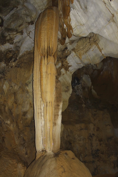
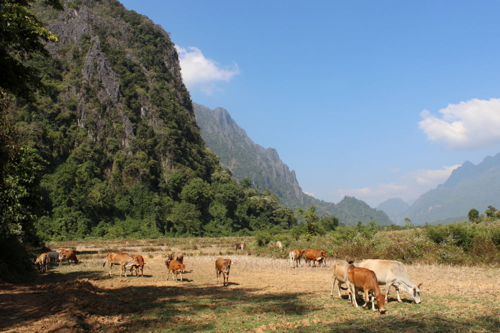
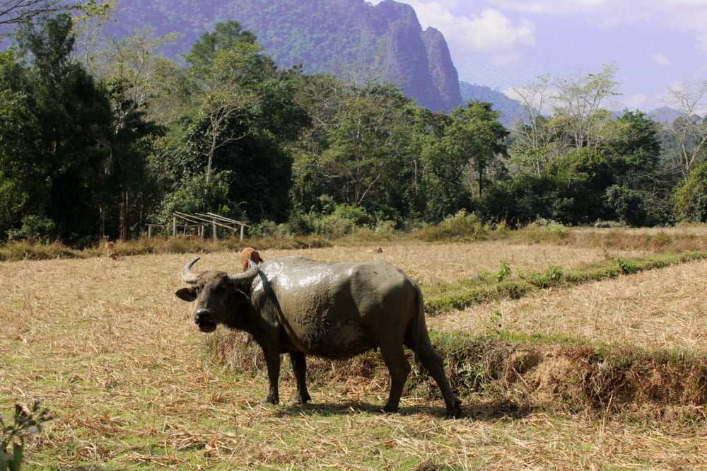
Neujahrs Tour zu den Höhlen im Karst von Vang Vieng


 Mountainbikes kann man für 25000 KIP im Ort mieten.

Further information at

http://en.wikivoyage.org/wiki/Vang_Vieng

Tour gallery

Tour map and elevation profile

  • Open Street Map
  • Google
Minimum height 230 m Maximum height 320 m Detailed view

More about the tour author

Alu68
Member since 2008

Send private message

Comments

Vang Vieng liegt auf der Touristenroute von Vientiane nach Lung Prabang.

Mountainbikes kann man für 25000 KIP im Ort mieten.


GPS tracks

Trackpoints
  • GPX / Garmin Map Source (gpx) download
  • TCX / Garmin Training Center® (tcx) download
  • CRS / Garmin Training Center® (crs) download
  • Google Earth (kml) download
  • G7ToWin (g7t) download
  • TTQV (trk) download
  • Overlay (ovl) download
  • Fugawi (txt) download
  • Kompass (DAV) Track (tk) download
  • Track data sheet (pdf) download
  • Original file of the author (gpx) download

More about the tour author

Alu68
Member since 2008

Send private message
Share track
Add to my favorites
Remove from my favorites
Edit tags
My score
Rate
Track: Karst-Höhlen-Tour Vang Vieng
Type: Mountain bike
Distance: 42,9 km
Evaluated on:
Duration:
Day(s)
Hour(s)
Minute(s)
Score: Landscape Fun factor Fitness Technique