


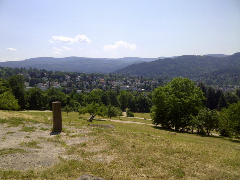
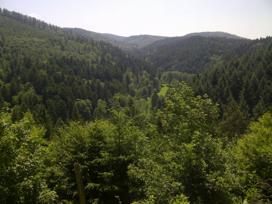
Über die Wolfschlucht in Richtung Binsenwasen, Nachtigall. Den Lindelweg kurz in Richtung Rote Lache, bevor es rechts steil hinunter in Richtung Gaisbach geht. Dann das Oostal hinauf in Richtung Scherrhof. Bin dieses Mal links vom Bach hochgefahren, ist nicht so empfehlenswert. Rechts lässt es sich schöner fahren. Vom Scherrhof in Richtung Mittelfeldhütte, bevor es dann die letzten 200 hm in Richtung Badener Höhe hinaufgeht. Zurück über den Badener Sattel, Panoramaweg in Richtung Rote Lache. Den Lindelweg in Richtung Nachtigall und dann entlang dem Wildgehege in Richtung Merkur Talstation. Jetzt noch eine kleine Einlage, nochmals hinauf zur Wolfsschlucht und dann den SingleTrail in Richtung Altes Schloß.
Further information at
http://de.wikipedia.org/wiki/Badener_H%C3%B6heTour gallery


Tour map and elevation profile
Minimum height 173 m
Maximum height 1005 m
More about the tour author

|
thheinz |
Comments

GPS tracks
Trackpoints-
GPX / Garmin Map Source (gpx) download
-
TCX / Garmin Training Center® (tcx) download
-
CRS / Garmin Training Center® (crs) download
-
Google Earth (kml) download
-
G7ToWin (g7t) download
-
TTQV (trk) download
-
Overlay (ovl) download
-
Fugawi (txt) download
-
Kompass (DAV) Track (tk) download
-
Track data sheet (pdf) download
-
Original file of the author (gpx) download
More about the tour author
|
|
thheinz |
Add to my favorites
Remove from my favorites
Edit tags
Open track
My score
Rate