Login

Forgot your login?

Cookies have to be accepted!
Your browser's cookie functionality is disabled. Please enable this functionality.

Not a member yet?

Register now
Login

Available for registred users only

Log in to use this feature.

Forgot your login?

Cookies have to be accepted!
Your browser's cookie functionality is disabled. Please enable this functionality.

Not a member yet?

Register now
Filter
Categories
Advanced filters
  • Distance (km)
  • Height
Save filters Reset filter

TrackRank

QRCode

Technical data

Distance40,2 km Height892 m Way down884 m Duration02:43 h:m Date07.06.2015
Scores Author Landscape Fun factor Fitness Technique

Statistics

281 Views Scores 25 Downloads Average
Rate
  • Track data sheet
  • Directions
  • Downloads

Erstmals konnte ich an einem Naturfreunde Radevent teilnehmen. Unter der ortskundigen Führung von Gerhard Friesenecker fuhren einige MTB-begeisterte Damen und Herren diese wunderschöne Tour, bei der wirklich nur kurze Asphalt-Stücke unter die Reifen kamen. Sehr empfehlenswert!

Dies ist der Track, den ich eine Woche später bei der nochmaligen Befahrung der Strecke aufgezeichnet habe. Bruttozeit: 3:05 h.
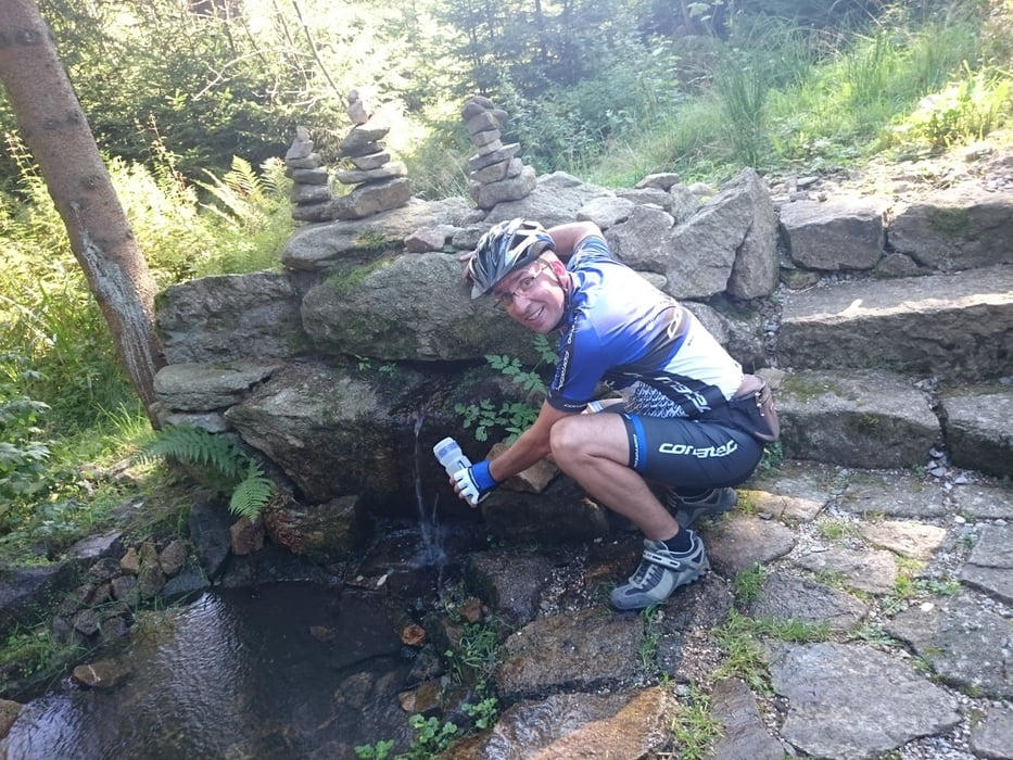
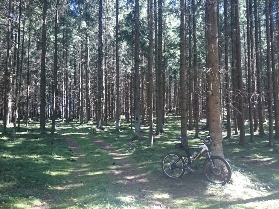
 

Tour gallery

Tour map and elevation profile

  • Open Street Map
  • Google
Minimum height 562 m Maximum height 811 m Detailed view

More about the tour author

rjkas
Member since 2003

Send private message

Comments

GPS tracks

Trackpoints
  • GPX / Garmin Map Source (gpx) download
  • TCX / Garmin Training Center® (tcx) download
  • CRS / Garmin Training Center® (crs) download
  • Google Earth (kml) download
  • G7ToWin (g7t) download
  • TTQV (trk) download
  • Overlay (ovl) download
  • Fugawi (txt) download
  • Kompass (DAV) Track (tk) download
  • Track data sheet (pdf) download
  • Original file of the author (tcx) download

More about the tour author

rjkas
Member since 2003

Send private message
Share track
Add to my favorites
Remove from my favorites
Edit tags
My score
Rate
Track: Euregio Radwandertag 2015 - Guide Gerhard
Type: Mountain bike
Distance: 40,2 km
Evaluated on:
Duration:
Day(s)
Hour(s)
Minute(s)
Score: Landscape Fun factor Fitness Technique