


schwere Endurotour auf den Mt. Galero von Westen
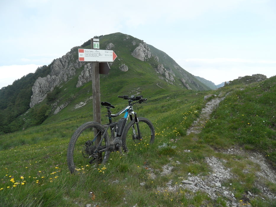
Von Nasino bis auf ca. 1300m Güterweg, dann ca. 450hm schiebend zum Gipfel, davon ca. 10% fahrbar.
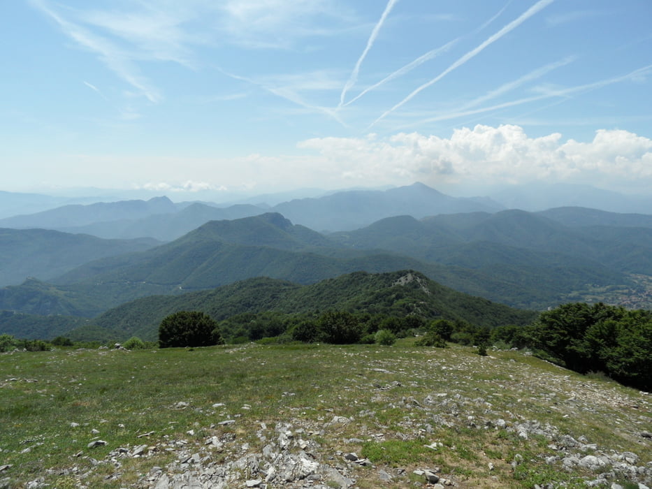
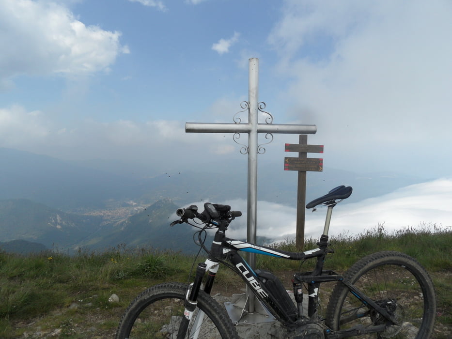
Am Gipfel weiter Rundblick und Gipfelkreuz.
Dann lange Abfahrt bis Nasino.
1500hm Abfahrt sind ganz nett fürs Mittelmeer.
Der Weg Richtung Nasino hat Richtung Tal immer mehr Holz und Steine, wenn es geht jeder 50 rauswerfen. Es wäre schade wenn der Weg weiter verfällt. Hinunter auf einer Höhe von ca. 1250m ist ein Abzweig nach links. Bin die zweite Variante auch gefahren, ist aber schon zu verfallen um Spass daran zu haben. Unten trifft der Weg auf den TA, der ist gut fahrbar.
Im Link das Video der Jungs im Kommentar.
Further information at
https://vimeo.com/151875262Tour gallery

Tour map and elevation profile
Minimum height 282 m
Maximum height 1705 m
More about the tour author
|
|
skyhopper |
Comments
GPS tracks
Trackpoints-
GPX / Garmin Map Source (gpx) download
-
TCX / Garmin Training Center® (tcx) download
-
CRS / Garmin Training Center® (crs) download
-
Google Earth (kml) download
-
G7ToWin (g7t) download
-
TTQV (trk) download
-
Overlay (ovl) download
-
Fugawi (txt) download
-
Kompass (DAV) Track (tk) download
-
Track data sheet (pdf) download
-
Original file of the author (gpx) download
More about the tour author
|
|
skyhopper |
Add to my favorites
Remove from my favorites
Edit tags
Open track
My score
Rate
video Galero
we did this tour the 13.01.2016 and we did this video
https://vimeo.com/151875262
nice trails!