


Wanderung auf dem AV Höhenweg vom Giggio die Tirano auf den Mt. Carmo
Von Loano nach Toirano über Carpe zum Giggio di Tirano auf 820m mit Auto. Nach dem Pass Wanderparkplatz. Von hier dann Tour ohne große Schwierigkeiten zum Gipfel. Das Refugio unterhalb des Gipfels ist nicht bewirtschaftet, weiter unten das Refugio del Bosse schon.
Wer mehr Zeit hat sollte über St. Pietro und den Mt. Ravinet laufen (+2Std).
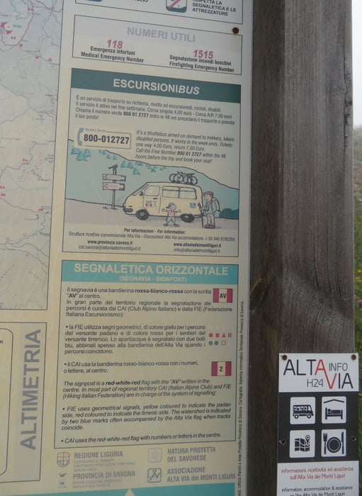
Im Sommer fährt am ca. 15.06 die Buslinie 80 von Finale über Loano - Toirano - Carpe - Bardineto nach Calizzano. Wer weitere Touren laufen will, hat hier eine Fahrhilfe. Es gibt einen Abruf-Wanderbus für den AV, siehe Foto
Einkehr: In Bardineto (ca. 3km vom Startpkt.) hat es mehrere Bars (Wegpunkt). Bei den MTB Touren von hier eine Tour von Bardineto an den Carmo (2-3Std).
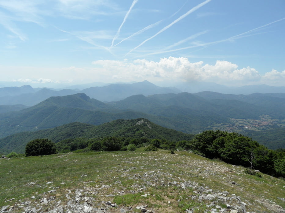
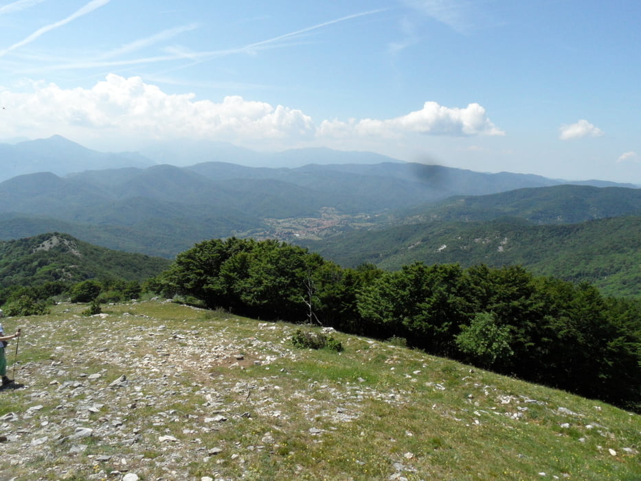
Tour gallery
Tour map and elevation profile
Minimum height 809 m
Maximum height 1390 m
More about the tour author
|
|
skyhopper |
Comments

GPS tracks
Trackpoints-
GPX / Garmin Map Source (gpx) download
-
TCX / Garmin Training Center® (tcx) download
-
CRS / Garmin Training Center® (crs) download
-
Google Earth (kml) download
-
G7ToWin (g7t) download
-
TTQV (trk) download
-
Overlay (ovl) download
-
Fugawi (txt) download
-
Kompass (DAV) Track (tk) download
-
Track data sheet (pdf) download
-
Original file of the author (gpx) download
More about the tour author
|
|
skyhopper |
Add to my favorites
Remove from my favorites
Edit tags
Open track
My score
Rate