


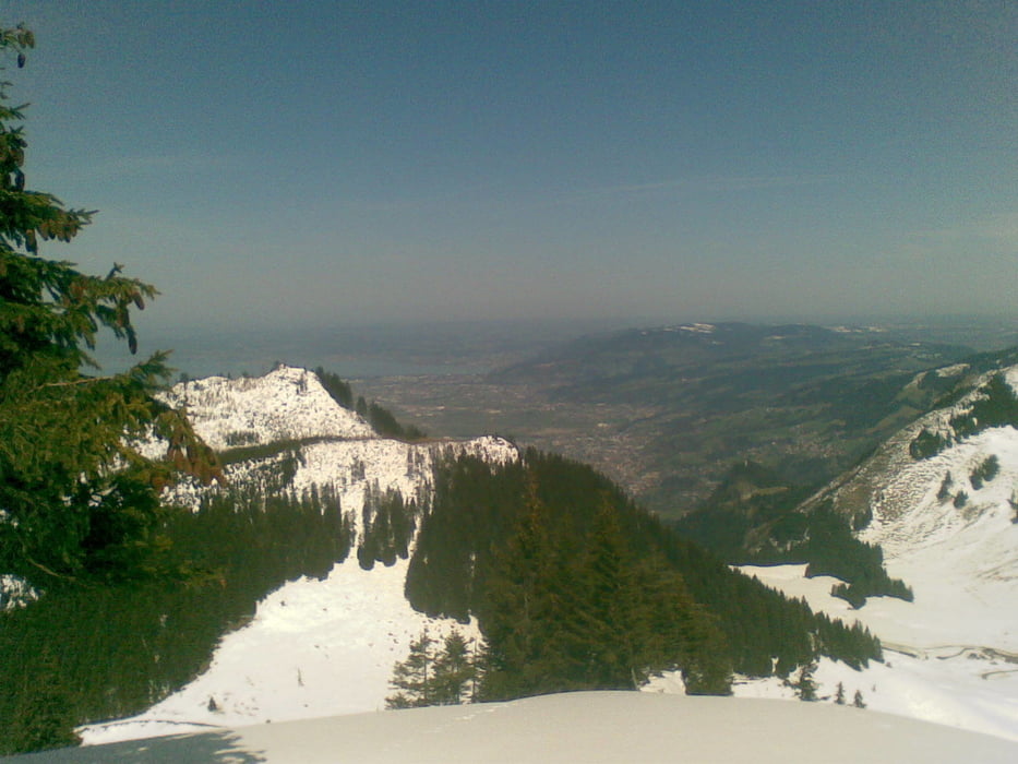
Von Ebnit aus gehts in Richtung Schöner Mann Alpe und Bocksberg. Nach ca. 300 m geht dann links der Fahrweg in Richtung Schöner Mann und Hinterbergalpe ab. Der beschilderte Weg geht von der Hinterbergalpe unterhalb des Gipfels zur Schönermannalpe. Wir sind nach der Hinterbergalpe weglos ca. 100 m bis zum Gipfelkreuz gegangen. Vom Gipfel zuerst auf dem Grat ca. 500 m Richtung Westen und dann wieder abwärts auf den Wanderweg. Am Fluhereck haben wir dann noch einen Abstecher zur Emser Hütte gemacht. Von dort dann vorbei am Pfarrers Älpele wieder nach Ebnit.
Tour gallery
Tour map and elevation profile
Minimum height 1055 m
Maximum height 1520 m
More about the tour author

|
Thomas1965 |
Comments
Von Dornbirn in Richtung Karren/Rappenlochschlucht fahren. Kurz vor Gütle rechts ab nach Ebnit. Ca. 7 km auf recht abenteuerlicher Strecke bis Ebnit.
GPS tracks
Trackpoints-
GPX / Garmin Map Source (gpx) download
-
TCX / Garmin Training Center® (tcx) download
-
CRS / Garmin Training Center® (crs) download
-
Google Earth (kml) download
-
G7ToWin (g7t) download
-
TTQV (trk) download
-
Overlay (ovl) download
-
Fugawi (txt) download
-
Kompass (DAV) Track (tk) download
-
Track data sheet (pdf) download
-
Original file of the author (gpx) download
More about the tour author
|
|
Thomas1965 |
Add to my favorites
Remove from my favorites
Edit tags
Open track
My score
Rate
Sehr schöne Tour
Absolut tolle Route.
05.02.2012