
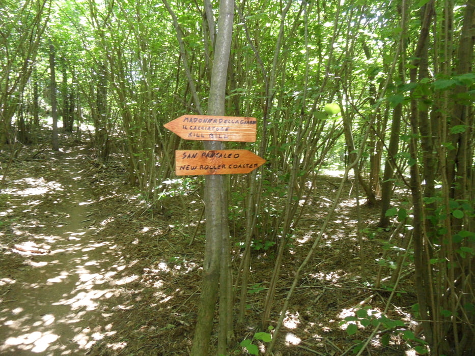

scheint ein neuer Trail zu sein: Kill Bill (S3). Die Auffahrt nimmt 3km nach Calice den Güterweg. Man kann auch auf der Strasse in Calice oder die Straße Finale Richtung Autobahnauffahrt hochfahren (viel Verkehr).
Ich vermute der Kill Bill wird noch bis Calice verlängert. Bislang nutzt er zum Schluß einen der beiden schweren Trails nach Calice und Anfangs dieflowige Strecke ab der Bar DIN.
Die Jungs/Mädchen in Finale haben den Trailbau drauf! Mir ist aufgefallen, daß seit letztem Jahr Trails neu gebaut wurden bzw. aufpeppt/repariert wurden.Habe was von Trailgebühr für Selbstfahrer ab 2016 gehört, bin gespannt wie das gehen soll. Fände eine freiwillige Spendemöglichkeit für die sehr gute Arbeit ok, nur es gibt kein Spendenkonto?
Tour map and elevation profile
Minimum height -44 m
Maximum height 975 m
More about the tour author
|
|
skyhopper |
Comments

Start in Calice Ligure
GPS tracks
Trackpoints-
GPX / Garmin Map Source (gpx) download
-
TCX / Garmin Training Center® (tcx) download
-
CRS / Garmin Training Center® (crs) download
-
Google Earth (kml) download
-
G7ToWin (g7t) download
-
TTQV (trk) download
-
Overlay (ovl) download
-
Fugawi (txt) download
-
Kompass (DAV) Track (tk) download
-
Track data sheet (pdf) download
-
Original file of the author (gpx) download
More about the tour author
|
|
skyhopper |
Add to my favorites
Remove from my favorites
Edit tags
Open track
My score
Rate