


Die Tour startet bei mir zu Haus, kann aber auch in Ottensheim oder der Staustufe Ottensheim gestartet werden. Weiter geht´s über den Bleicherbach (z. T. knackig) bergauf Richtung GIS. Diese wird bei dieser Tour aber nicht erobert, sondern wir zweigen einen gschmackigen Trail Richtung Gramastetten ab. Über das Große Rodltal sausen wir flott bergab, ohne auf die tollen Ausblicke auf den Rodlverlauf zu vergessen.
Durch schöne Wälder und ein bisschen Bergauf und Bergab erreichen wir Ottensheim. Tipp: bei der Donaufähre, wenn Zeit bleibt, in´s Radlertreff einkehren (sehr gute Küche).
Durch schöne Wälder und ein bisschen Bergauf und Bergab erreichen wir Ottensheim. Tipp: bei der Donaufähre, wenn Zeit bleibt, in´s Radlertreff einkehren (sehr gute Küche).
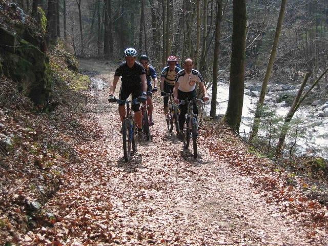
Tour gallery
Tour map and elevation profile
Minimum height 255 m
Maximum height 714 m
More about the tour author
|
|
ingo |
Comments

GPS tracks
Trackpoints-
GPX / Garmin Map Source (gpx) download
-
TCX / Garmin Training Center® (tcx) download
-
CRS / Garmin Training Center® (crs) download
-
Google Earth (kml) download
-
G7ToWin (g7t) download
-
TTQV (trk) download
-
Overlay (ovl) download
-
Fugawi (txt) download
-
Kompass (DAV) Track (tk) download
-
Track data sheet (pdf) download
-
Original file of the author (g7t) download
More about the tour author
|
|
ingo |
Add to my favorites
Remove from my favorites
Edit tags
Open track
My score
Rate