Login

Forgot your login?

Cookies have to be accepted!
Your browser's cookie functionality is disabled. Please enable this functionality.

Not a member yet?

Register now
Login

Available for registred users only

Log in to use this feature.

Forgot your login?

Cookies have to be accepted!
Your browser's cookie functionality is disabled. Please enable this functionality.

Not a member yet?

Register now
Filter
Categories
Advanced filters
  • Distance (km)
  • Height
Save filters Reset filter

TrackRank

QRCode

Technical data

Distance101,3 km Height1625 m Way down1566 m Duration1 day 0 h Date15.06.2015
Scores Author Landscape Fun factor Fitness Technique

Statistics

219 Views Scores 38 Downloads Average
Rate
  • Track data sheet
  • Directions
  • Downloads

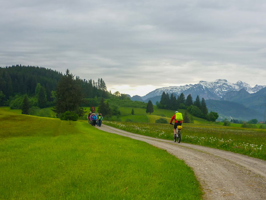
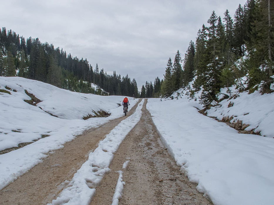
Etappe 1 eines leichten Alpencrosses von Nesselwang nach Andrian (Bozen).

Gefahrene Strecke: Nesselwang - Weißensee - Füssen - Hohenschwangau - Pinswang - Reutte - Ehrenberger Klause [955 m] - Heiterwang - Bichlbach - Ehrwald - Seilbahn zur Ehrwalder Alm - Leutascher Ache - Durch den Boden - Scharnitz.


Further information at

http://www.velotouren.net/radtouren/touren/touren2015/alpen-x/etappen/nesselwang-scharnitz/

Tour gallery

Tour map and elevation profile

  • Open Street Map
  • Google
Minimum height 799 m Maximum height 1644 m Detailed view

More about the tour author

Moppedcarlo
Member since 2008

Send private message

Comments

GPS tracks

Trackpoints
  • GPX / Garmin Map Source (gpx) download
  • TCX / Garmin Training Center® (tcx) download
  • CRS / Garmin Training Center® (crs) download
  • Google Earth (kml) download
  • G7ToWin (g7t) download
  • TTQV (trk) download
  • Overlay (ovl) download
  • Fugawi (txt) download
  • Kompass (DAV) Track (tk) download
  • Track data sheet (pdf) download
  • Original file of the author (gpx) download

More about the tour author

Moppedcarlo
Member since 2008

Send private message
Share track
Add to my favorites
Remove from my favorites
Edit tags
My score
Rate
Track: Von Nesselwang (D) nach Scharnitz (A)
Type: Mountain bike
Distance: 101,3 km
Evaluated on:
Duration:
Day(s)
Hour(s)
Minute(s)
Score: Landscape Fun factor Fitness Technique