


Kurzer Aufstieg auf den markanten Xombourgo, dem besten Aussichtspunkt von Tinos.
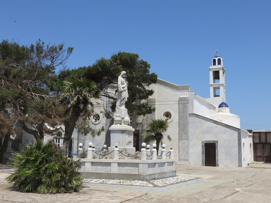
Vom Parkplatz vor dem kleinen Kloster geht es links am Kloster vorbei. An der darauf folgenden Gabelung rechts halten und dem Pfad folgen der sich auf den Gipfel hinauf windet.
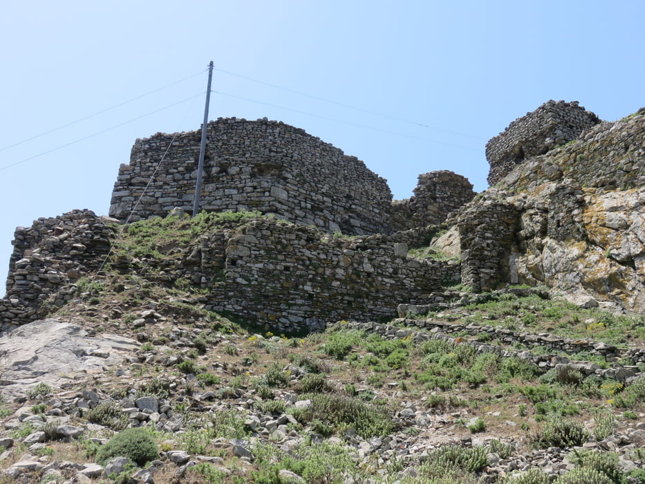
Auf dem Gipfel des Xombourgo befinden sich die Reste eines venezianischen Kastells. Seine Verteidigung war so stark das Tinos erst 200 Jahre später wie das benachbarte Mykonos von den Türken erobert wurde.
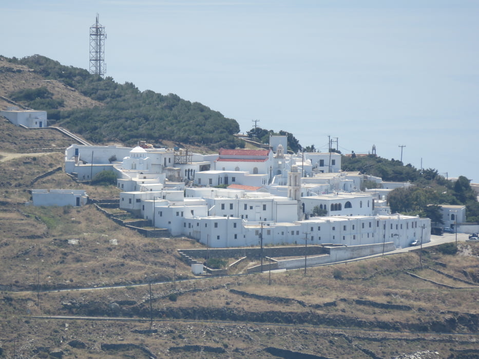
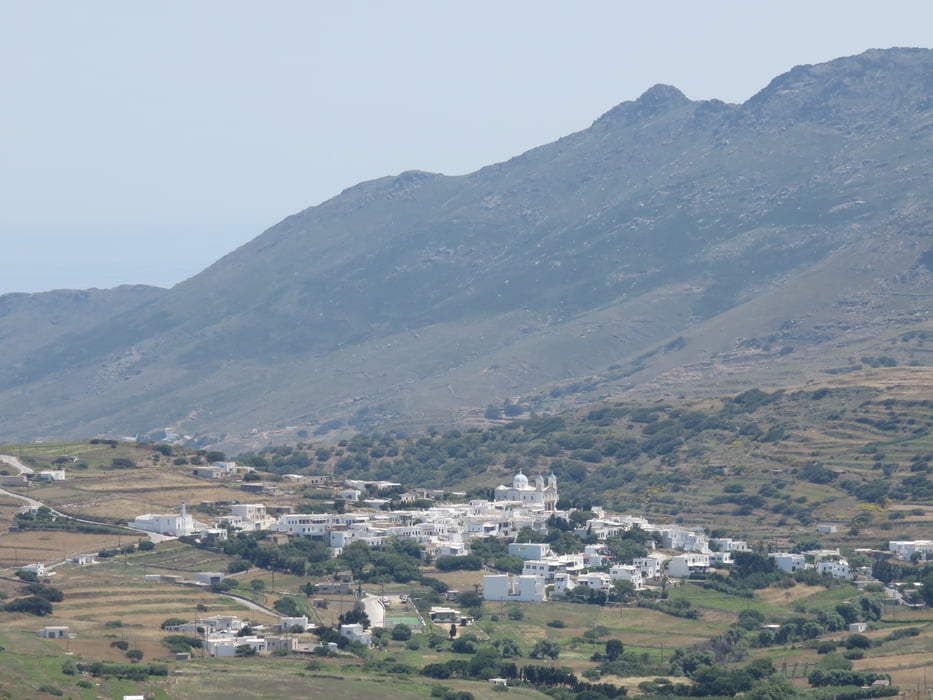
Vom Gipfelkreuz hat man einen weiten Rundumblick über Tinos und die benachbarten Inseln.
Tour gallery
Tour map and elevation profile
Minimum height 455 m
Maximum height 562 m
More about the tour author
|
|
Bloxi |
Comments

Mit dem Wagen hinauf in Richtung des Xombourgo fahren. An der Straße zwischen Tzados und Koumares zweigt die Straße zum, schon von weitem zu sehenden, am Fuß des Xombourgo liegenden, Kloster ab. Der Abzweig ist Ausgeschildert.
GPS tracks
Trackpoints-
GPX / Garmin Map Source (gpx) download
-
TCX / Garmin Training Center® (tcx) download
-
CRS / Garmin Training Center® (crs) download
-
Google Earth (kml) download
-
G7ToWin (g7t) download
-
TTQV (trk) download
-
Overlay (ovl) download
-
Fugawi (txt) download
-
Kompass (DAV) Track (tk) download
-
Track data sheet (pdf) download
-
Original file of the author (gpx) download
More about the tour author
|
|
Bloxi |
Add to my favorites
Remove from my favorites
Edit tags
Open track
My score
Rate