Login

Forgot your login?

Cookies have to be accepted!
Your browser's cookie functionality is disabled. Please enable this functionality.

Not a member yet?

Register now
Login

Available for registred users only

Log in to use this feature.

Forgot your login?

Cookies have to be accepted!
Your browser's cookie functionality is disabled. Please enable this functionality.

Not a member yet?

Register now
Filter
Categories
Advanced filters
  • Distance (km)
  • Height
Save filters Reset filter

TrackRank

QRCode

Technical data

Distance2,4 km Height37 m Way down45 m Duration01:00 h:m Date21.06.2015
Scores Author Landscape Fun factor Fitness Technique

Statistics

153 Views Scores 5 Downloads Average
Rate
  • Track data sheet
  • Directions
  • Downloads
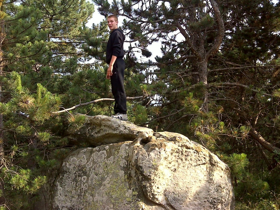
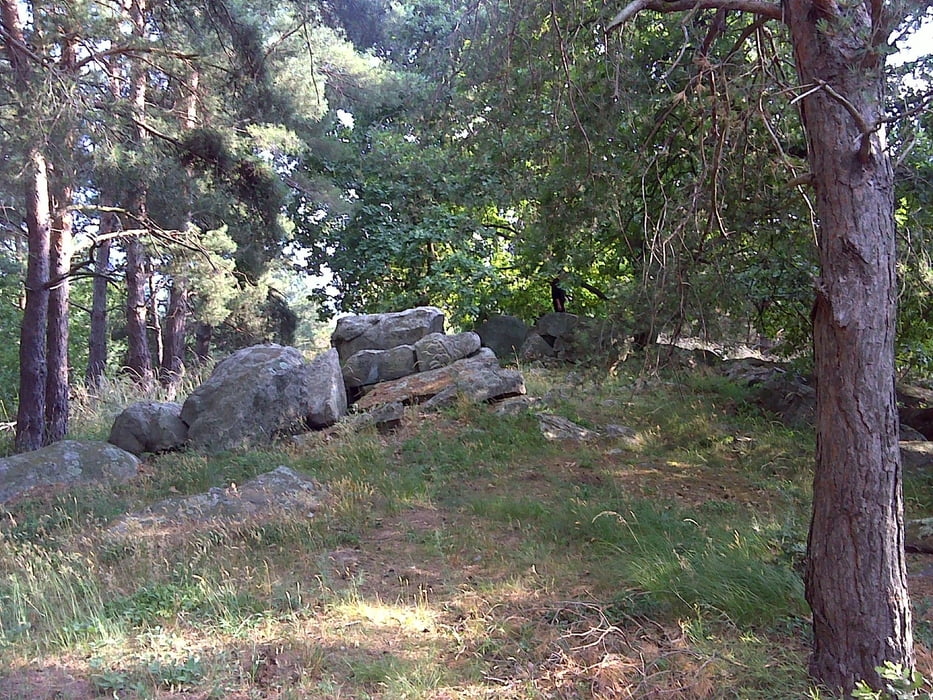
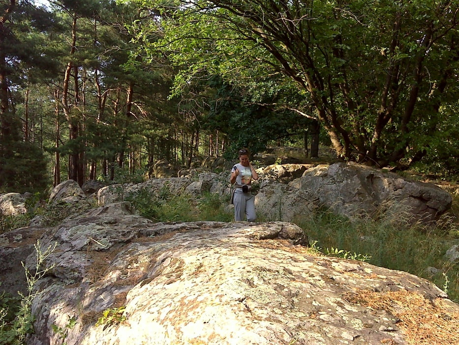
Káptalantótitól nem messze a Csobáncra felvezető út mellett bújik meg ez a kőtenger, ami szerintem sokkal izgalmasabb mint az Ingókő

Tour gallery

Tour map and elevation profile

  • Open Street Map
  • Google
Minimum height 133 m Maximum height 185 m Detailed view

More about the tour author

anyosati
Member since 2013

Send private message

Comments

GPS tracks

Trackpoints
  • GPX / Garmin Map Source (gpx) download
  • TCX / Garmin Training Center® (tcx) download
  • CRS / Garmin Training Center® (crs) download
  • Google Earth (kml) download
  • G7ToWin (g7t) download
  • TTQV (trk) download
  • Overlay (ovl) download
  • Fugawi (txt) download
  • Kompass (DAV) Track (tk) download
  • Track data sheet (pdf) download
  • Original file of the author (gpx) download

More about the tour author

anyosati
Member since 2013

Send private message
Share track
Add to my favorites
Remove from my favorites
Edit tags
My score
Rate
Track: Kőtenger
Type: Hiking
Distance: 2,4 km
Evaluated on:
Duration:
Day(s)
Hour(s)
Minute(s)
Score: Landscape Fun factor Fitness Technique