


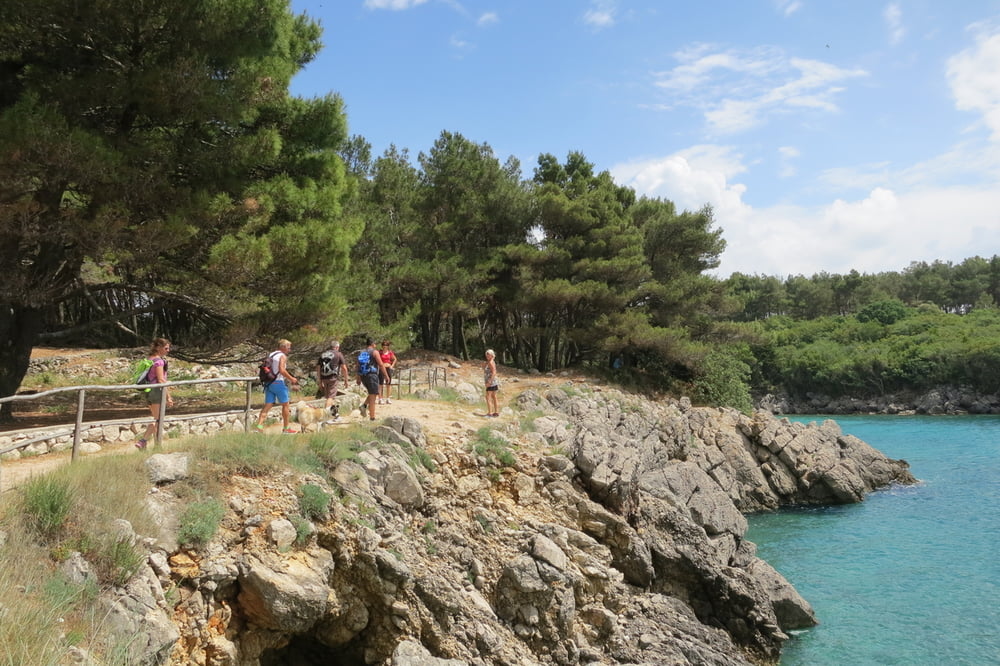
Leichte Wanderung meist auf breiten Forstwegen, Anfangs teilweise auf steinigen Pfaden.
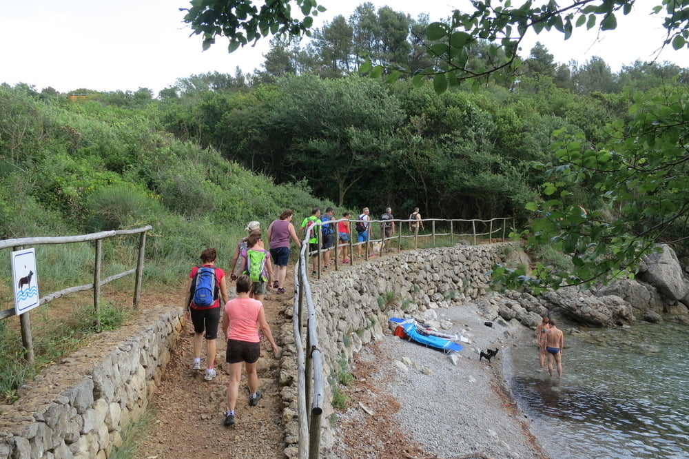
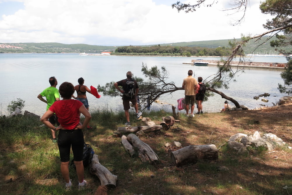
Beim Klosterinselblick kann man auch sehr gut baden und eine Pause einlegen. Getränke und Brotzeit mitnehmen. Nach dem "Campingplatz Krk" gibt es keine Einkehrmöglichkeiten mehr!
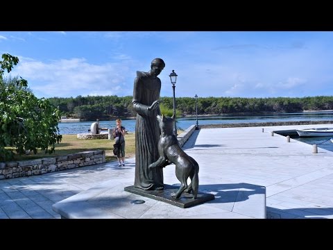
Wer auf die Insel möchte, der kann von Punat aus mit dem Schiff übersetzen.
Parkplatzgebühren: man sollte unbedingt genügend Münzen (Kuna) für den Automat dabei haben! bei uns haben 20 Kuna gereicht.
Further information at
https://de.wikipedia.org/wiki/Ko%C5%A1ljunTour gallery
Tour map and elevation profile
Minimum height -23 m
Maximum height 31 m
More about the tour author
|
|
W-C |
Comments

Anfahrt: Auf der D102 kommend nach Krk
Parkplatzkoordinaten: N 45° 01. 644`
O 14° 34. 663`
oder
N45.02730
E14.57804
Parkplatzgebühren: Man sollte unbedingt genügend Münzen (Kuna) für den Automat dabei haben! Bei uns haben 20 Kuna ausgereicht.
GPS tracks
Trackpoints-
GPX / Garmin Map Source (gpx) download
-
TCX / Garmin Training Center® (tcx) download
-
CRS / Garmin Training Center® (crs) download
-
Google Earth (kml) download
-
G7ToWin (g7t) download
-
TTQV (trk) download
-
Overlay (ovl) download
-
Fugawi (txt) download
-
Kompass (DAV) Track (tk) download
-
Track data sheet (pdf) download
-
Original file of the author (gpx) download
More about the tour author
|
|
W-C |
Add to my favorites
Remove from my favorites
Edit tags
Open track
My score
Rate