


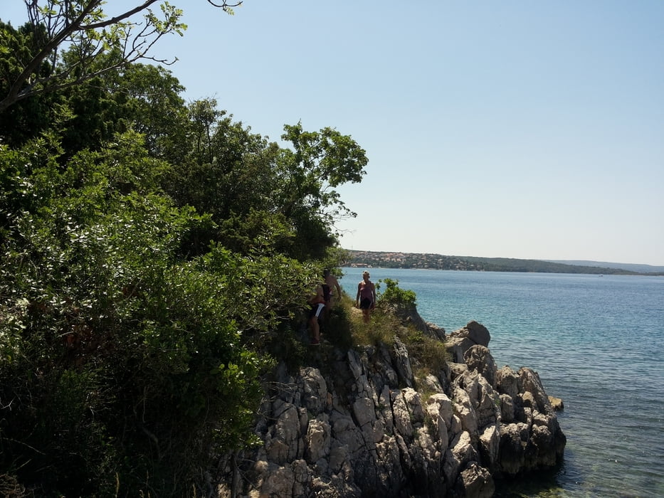
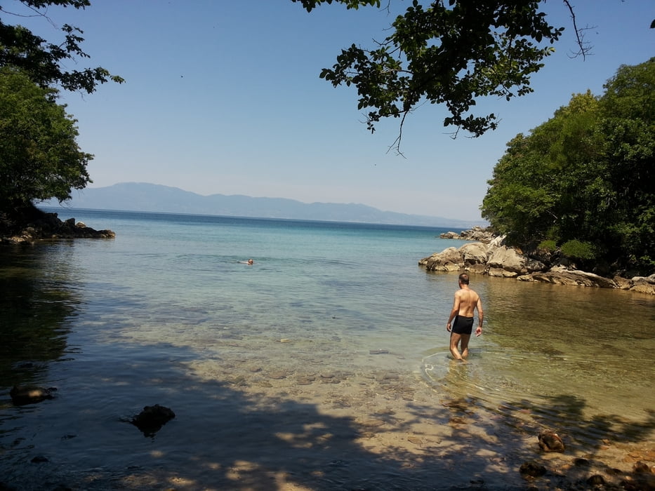
Küstenwanderung mit Bademöglichkeit an einer kleinen schönen Sandbucht. Dort befinden sich im Juni auch zahlreiche Schmetterlinge. Einkehrmöglichkeiten gibt es keine!
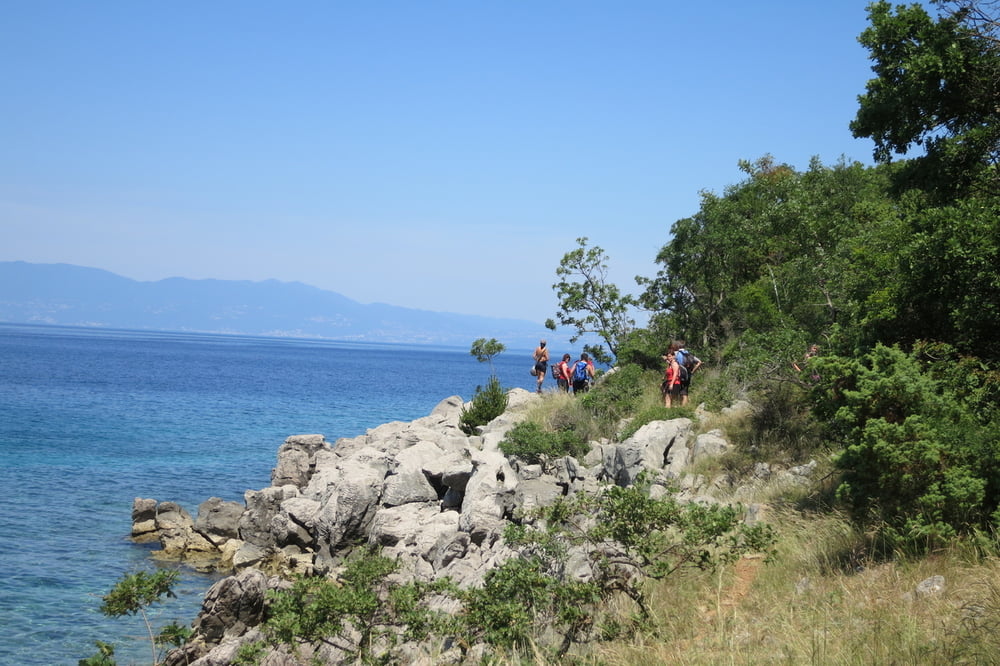
Vom Camp Njivice laufen wir nördlich auf Pfaden an der Küste entlang. Teilweise sind die Wege mühsam und man kommt nicht besonders schnell voran. Nach der Abkühlung an der kleinen Sandbucht wird der Weg besser.
Der Rückweg im Landesinneren verläuft meist auf Schotterwegen. Am Ende geht es durch den Trimm-Dich-Pfad zu unserem Ausgangspunkt
www.kampnjivice.com/de/mobilheime-im-campingplatz.aspx
Further information at
http://www.kampnjivice.com/de/mobilheime-im-campingplatz.aspxTour gallery

Tour map and elevation profile
Minimum height -15 m
Maximum height 50 m
More about the tour author
|
|
W-C |
Comments

Anfahrt Adresse:
Kroatien
51512 Njivice / Krk
Primorska cesta
GPS - Koordinaten: N 45° 10. 172`
O 14° 32. 784`
oder
N45.17006
E14.54548
http://www.kampnjivice.com/de/mobilheime-im-campingplatz.aspx
GPS tracks
Trackpoints-
GPX / Garmin Map Source (gpx) download
-
TCX / Garmin Training Center® (tcx) download
-
CRS / Garmin Training Center® (crs) download
-
Google Earth (kml) download
-
G7ToWin (g7t) download
-
TTQV (trk) download
-
Overlay (ovl) download
-
Fugawi (txt) download
-
Kompass (DAV) Track (tk) download
-
Track data sheet (pdf) download
-
Original file of the author (gpx) download
More about the tour author
|
|
W-C |
Add to my favorites
Remove from my favorites
Edit tags
Open track
My score
Rate