


Eine technisch einfachere Variante von der Tour
http://www.gps-tour.info/de/touren/detail.142451.html
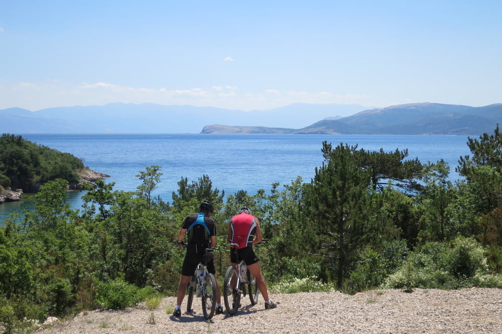
Die Wegbeschaffenheit ist meist auf Schotter, Asphalt und einfache Trails.
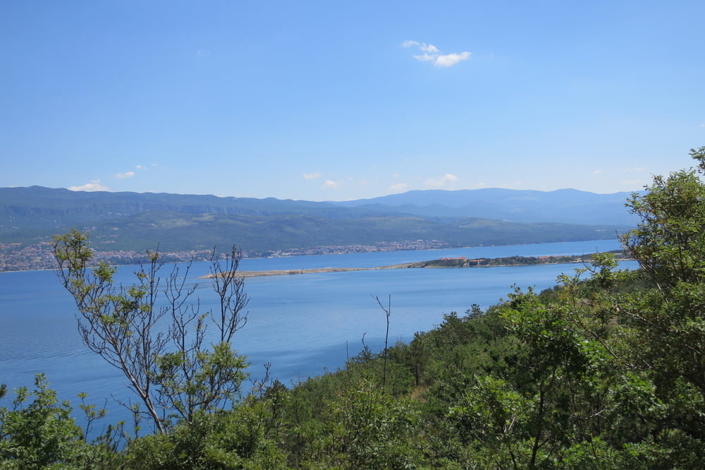
Wir starten von Kamp Njivice aus gegen die Einbahnstraße. Überqueren die Hauptstraße D102 und radl`n auf dem Schotterweg zur nächsten Teerstraße nach Cizici. An den Schlammlöcher vorbei nach Klimno.
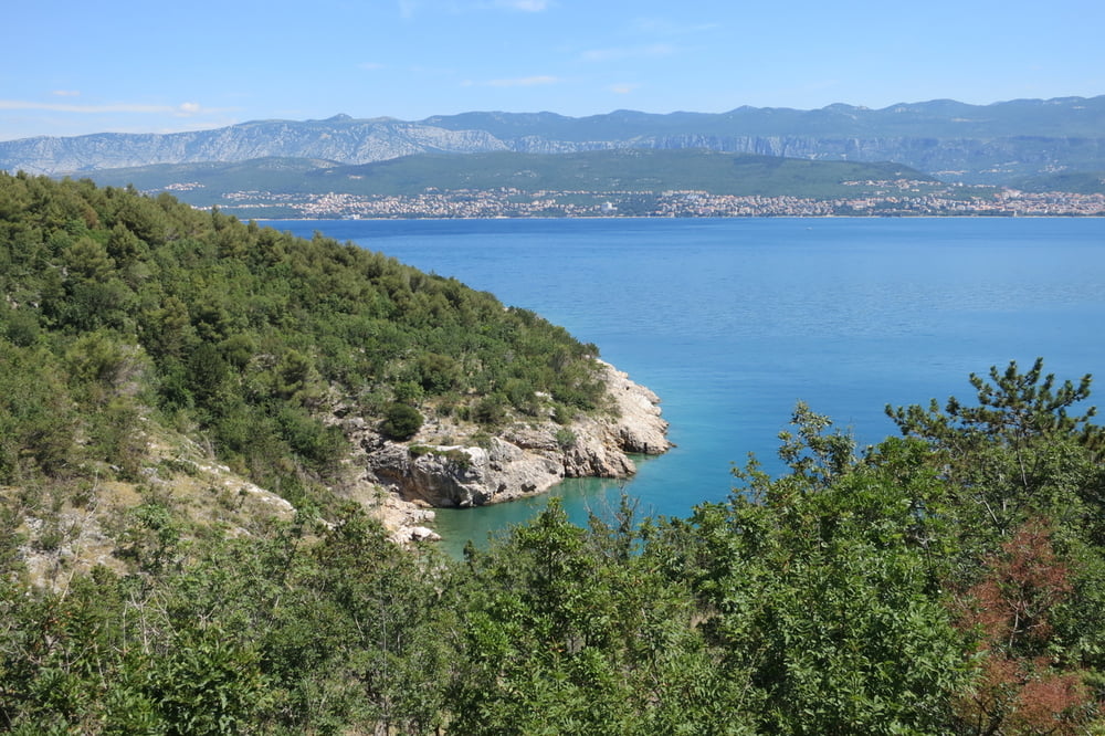
Auf dem Schotterweg an der Küste entlang und hoch nach Pojie. Von dort geht es abwechselnd auf Asphalt und Schotterwegen Richtung Kras - Gabonjin - Sveti Vid-Miholjice und Malinska. Am Hafen von Malinska, genießen wir ein verdientes kühles Pivo.
Weiter geht es am Hafen und den Hotelruinen entlang. Biegen links auf einen einfachen schönen Trail ab nach Njivice zu unseren Ausgangspunkt.
Further information at
http://www.kampnjivice.com/de/mobilheime-im-campingplatz.aspxTour gallery
Tour map and elevation profile
Minimum height -1 m
Maximum height 291 m
More about the tour author
|
|
W-C |
Comments

http://www.kampnjivice.com/de/mobilheime-im-campingplatz.aspx
Anfahrt Adresse:
Kroatien
51512 Njivice / Krk
Primorska cesta
GPS - Koordinaten: N 45° 10. 172`
O 14° 32. 784`
GPS tracks
Trackpoints-
GPX / Garmin Map Source (gpx) download
-
TCX / Garmin Training Center® (tcx) download
-
CRS / Garmin Training Center® (crs) download
-
Google Earth (kml) download
-
G7ToWin (g7t) download
-
TTQV (trk) download
-
Overlay (ovl) download
-
Fugawi (txt) download
-
Kompass (DAV) Track (tk) download
-
Track data sheet (pdf) download
-
Original file of the author (gpx) download
More about the tour author
|
|
W-C |
Add to my favorites
Remove from my favorites
Edit tags
Open track
My score
Rate