


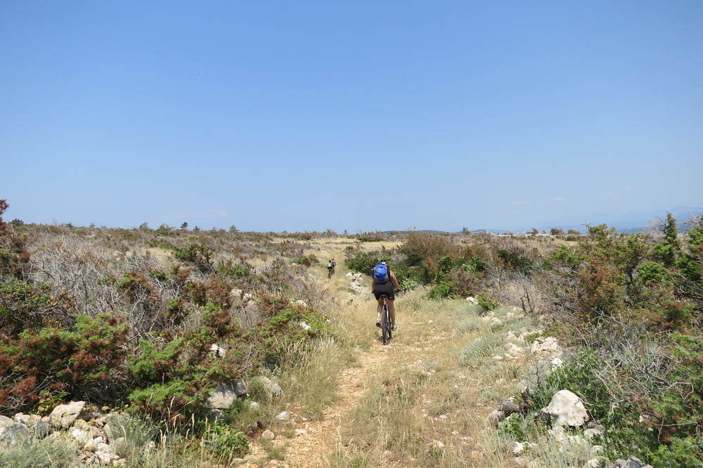
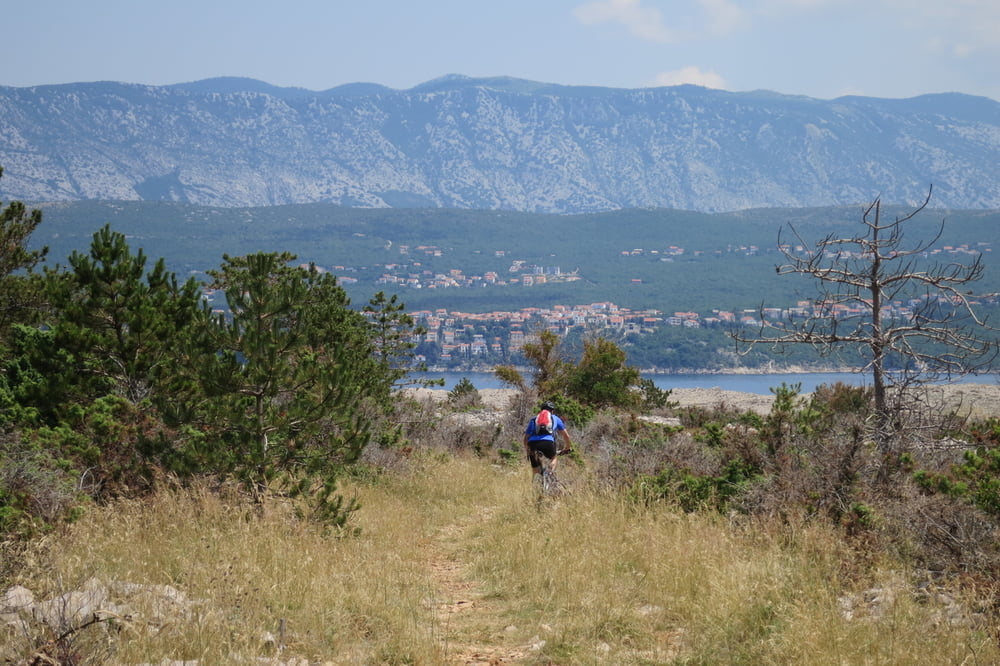
Mittelschwere MTB - Runde, mit einem schönen aber schattenlosen Singletrail zwischen der "Biserujka" Höhle und dem Flughafen von Rijeka. Auf den Trails fährt man sich oft Dornen in den Reifen. Ersatzschlauch und Flickzeug mitnehmen!
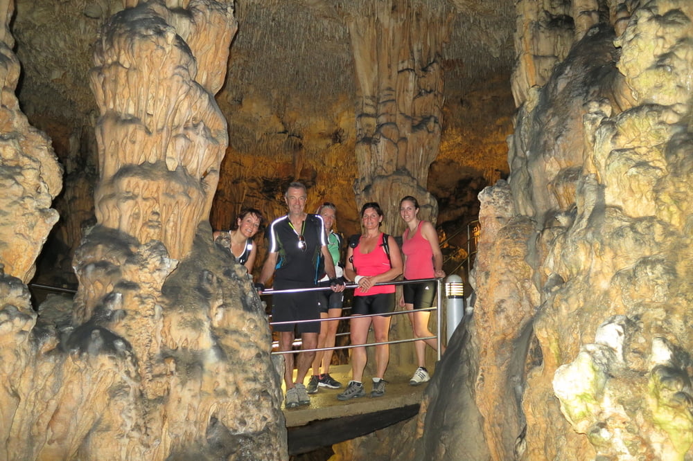
Wir starten vom Kamp Njivice nach Cizici und Richtung Rudine. Dort besichtigen wir die kleine Höhle. Wer noch nie eine Tropfsteinhöhle gesehen hat, für den ist dies sicherlich interessant. Weitere Information, siehe den Link unten.
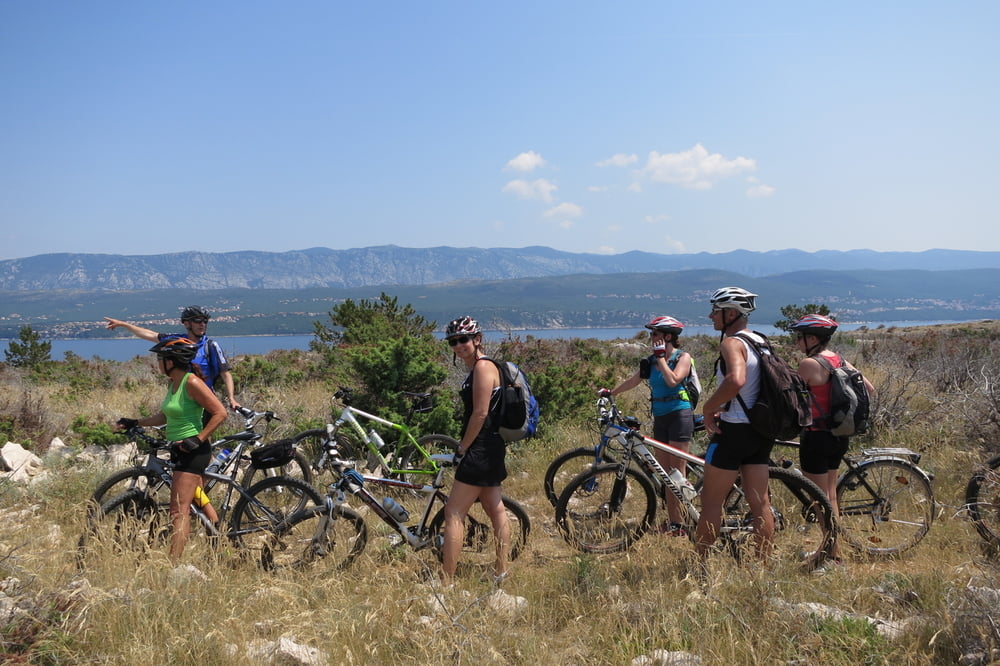
Weiter geht es auf einem schönen Trail Richtung Flughafen. Durch den Ort Omisalj am Hafen entlang zum Strand Pesja. Dort machen wir eine Badepause.
Ein kurzes Stück radl`n wir an der Hauptstraße D102, biegen dann rechts ab und fahren auf Asphalt und Schotterwegen zu unserem Ausgangspunkt.
http://www.spilja-biserujka.com.hr/index_deu.html
Further information at
http://www.kampnjivice.com/de/mobilheime-im-campingplatz.aspxTour gallery
Tour map and elevation profile
Minimum height -6 m
Maximum height 85 m
More about the tour author
|
|
W-C |
Comments

http://www.kampnjivice.com/de/mobilheime-im-campingplatz.aspx
Anfahrt Adresse:
Kroatien
51512 Njivice / Krk
Primorska cesta
GPS - Koordinaten: N 45° 10. 172`
O 14° 32. 784`
GPS tracks
Trackpoints-
GPX / Garmin Map Source (gpx) download
-
TCX / Garmin Training Center® (tcx) download
-
CRS / Garmin Training Center® (crs) download
-
Google Earth (kml) download
-
G7ToWin (g7t) download
-
TTQV (trk) download
-
Overlay (ovl) download
-
Fugawi (txt) download
-
Kompass (DAV) Track (tk) download
-
Track data sheet (pdf) download
-
Original file of the author (gpx) download
More about the tour author
|
|
W-C |
Add to my favorites
Remove from my favorites
Edit tags
Open track
My score
Rate