
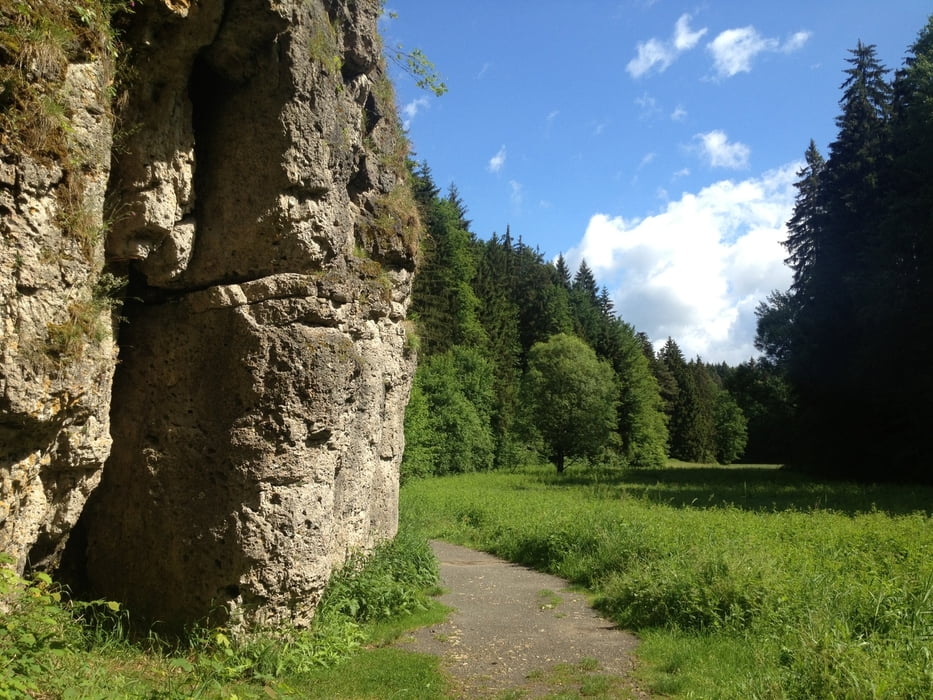

Start und Ziel ist der Wanderparkplatz bei Treunitz.
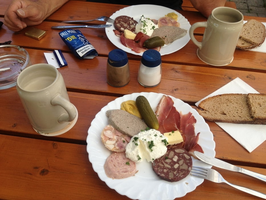
Erste Einkehr ist in Schederndorf (siehe Brotzeitbild :) ) die zweite in Steinfeld (Hübnerbräu)
Viel Spaß!
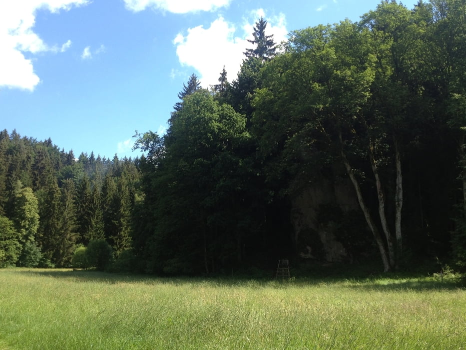
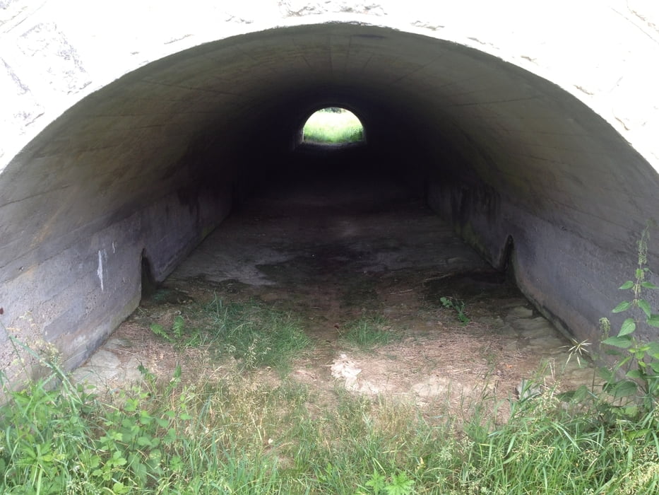
Tour gallery
Tour map and elevation profile
Minimum height 427 m
Maximum height 491 m
More about the tour author
|
|
berndhuber |
Comments

A 70> Roßdorf am Berg>B22
GPS tracks
Trackpoints-
GPX / Garmin Map Source (gpx) download
-
TCX / Garmin Training Center® (tcx) download
-
CRS / Garmin Training Center® (crs) download
-
Google Earth (kml) download
-
G7ToWin (g7t) download
-
TTQV (trk) download
-
Overlay (ovl) download
-
Fugawi (txt) download
-
Kompass (DAV) Track (tk) download
-
Track data sheet (pdf) download
-
Original file of the author (gpx) download
More about the tour author
|
|
berndhuber |
Add to my favorites
Remove from my favorites
Edit tags
Open track
My score
Rate