


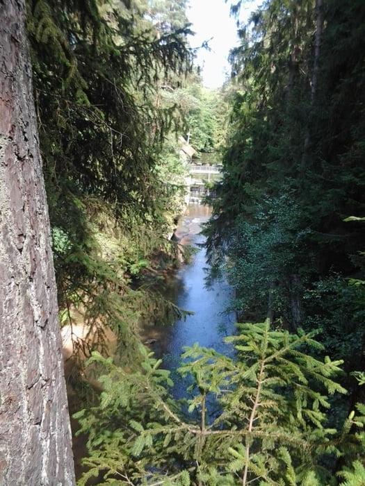
Die Tour startet in Wendelstein Röthenbach b. St. Wolfgang in der Feuchter Straße am Feuerwehrhof. Sie führt erst am alten Kanal über den Jägersee nach Feucht. Hier geht es weiter über Moosbach nach Ungelstetten. Es geht weiter nach Röthenbach b. Altdorf, Altdorf, Grünsberg, Burgthann, Ochenbruch, oberhalb der Schwarzachklamm zum Brückkanal zurück zum Start. Die Tour führt fast nur über Waldwege.
Die Tour wurde im Uhrzeigersinn aufgenommen.
Die Tour wurde im Uhrzeigersinn aufgenommen.
Tour gallery


Tour map and elevation profile
Minimum height 352 m
Maximum height 460 m
More about the tour author
|
|
Shaolin |
Comments
Start ist in 90530 Wendelstein Ortsteil Röthenbach b. St. Wolfgang in der Feuchter Straße beim Feuerwehrhof.
N49° 21.828' E11° 10.317'
N49° 21.828' E11° 10.317'
GPS tracks
Trackpoints-
GPX / Garmin Map Source (gpx) download
-
TCX / Garmin Training Center® (tcx) download
-
CRS / Garmin Training Center® (crs) download
-
Google Earth (kml) download
-
G7ToWin (g7t) download
-
TTQV (trk) download
-
Overlay (ovl) download
-
Fugawi (txt) download
-
Kompass (DAV) Track (tk) download
-
Track data sheet (pdf) download
-
Original file of the author (gpx) download
More about the tour author
|
|
Shaolin |
Add to my favorites
Remove from my favorites
Edit tags
Open track
My score
Rate
Schöne Rundfahrt