Login

Forgot your login?

Cookies have to be accepted!
Your browser's cookie functionality is disabled. Please enable this functionality.

Not a member yet?

Register now
Login

Available for registred users only

Log in to use this feature.

Forgot your login?

Cookies have to be accepted!
Your browser's cookie functionality is disabled. Please enable this functionality.

Not a member yet?

Register now
Filter
Categories
Advanced filters
  • Distance (km)
  • Height
Save filters Reset filter

TrackRank

QRCode

Technical data

Distance35,4 km Height707 m Way down639 m Duration04:00 h:m Date12.07.2015
Scores Author User Landscape Fun factor Fitness Technique

Statistics

877 Views 1 Score 193 Downloads 5.00 Average
Rate
  • Track data sheet
  • Directions
  • Downloads

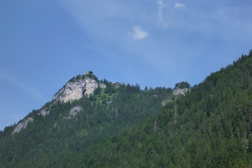
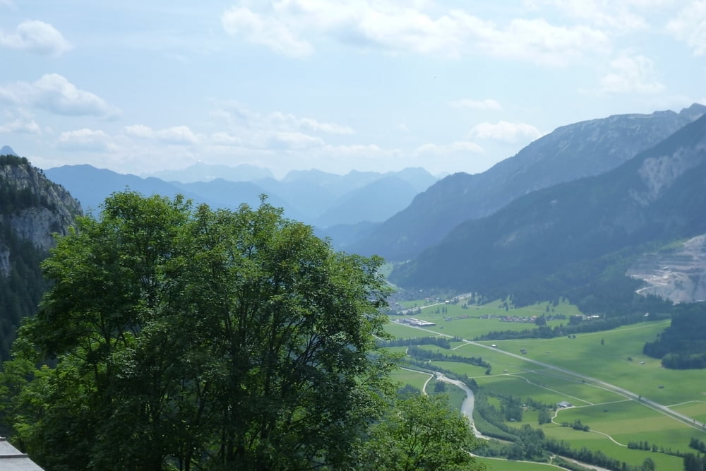
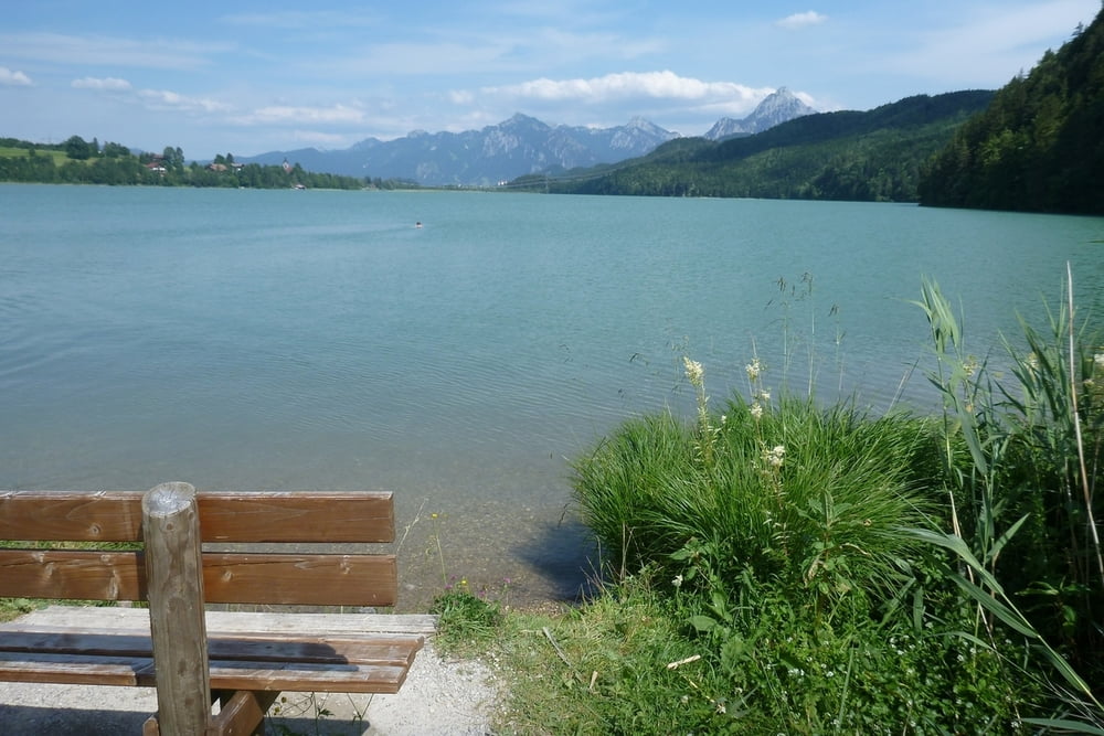
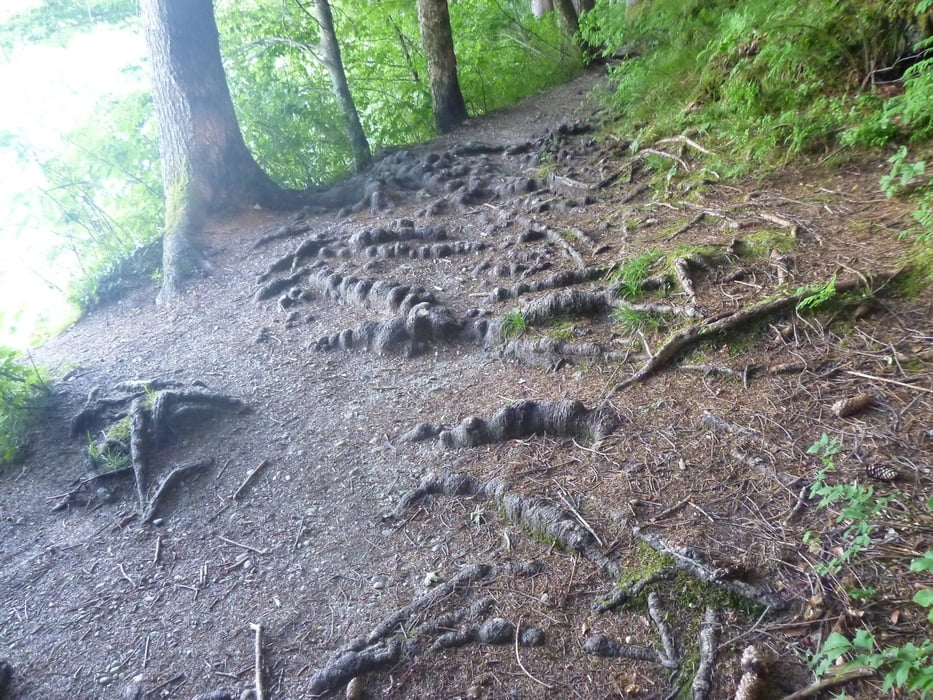
Füssen (Bahnhof oder Parkplatz) -> Lech (schöner Trail entlang des Flüßes) -> entlang des Kanals mit der Aussicht auf Falkenstein -> hoch zu der Burg -> runter zum Weißensee (rechte seite ist nicht zu empfehlen - schmaler pfand für Fussgänger, ziemlich wurzelig) -> Alatsee -> Füssen
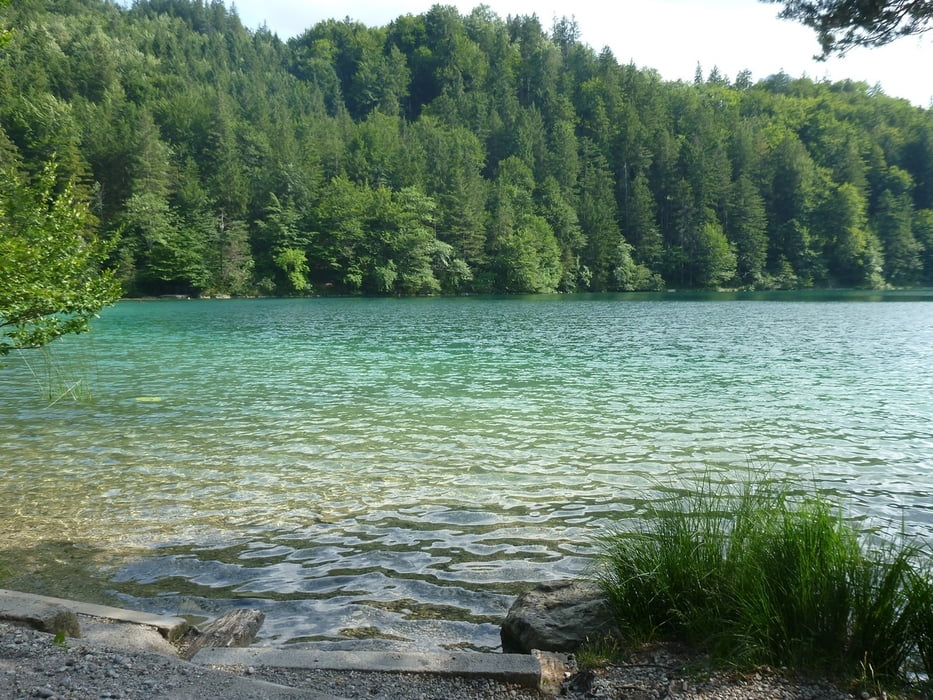
 

Tour gallery

Tour map and elevation profile

  • Open Street Map
  • Google
Minimum height 724 m Maximum height 1235 m Detailed view

More about the tour author

lilu
Member since 2009

Send private message

Comments

GPS tracks

Trackpoints
  • GPX / Garmin Map Source (gpx) download
  • TCX / Garmin Training Center® (tcx) download
  • CRS / Garmin Training Center® (crs) download
  • Google Earth (kml) download
  • G7ToWin (g7t) download
  • TTQV (trk) download
  • Overlay (ovl) download
  • Fugawi (txt) download
  • Kompass (DAV) Track (tk) download
  • Track data sheet (pdf) download
  • Original file of the author (gpx) download

More about the tour author

lilu
Member since 2009

Send private message
Share track
Add to my favorites
Remove from my favorites
Edit tags
My score
Rate
Track: Vom Füssen zum Falkenstein
Type: Mountain bike
Distance: 35,4 km
Evaluated on:
Duration:
Day(s)
Hour(s)
Minute(s)
Score: Landscape Fun factor Fitness Technique