


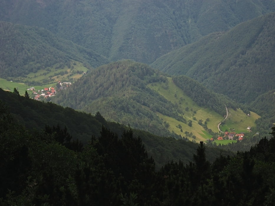
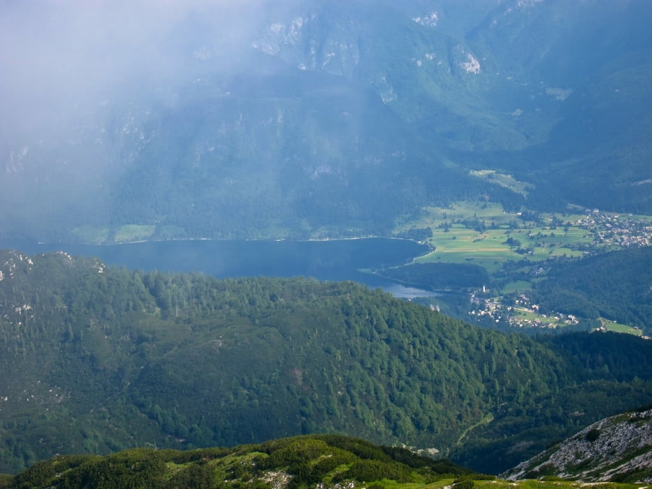
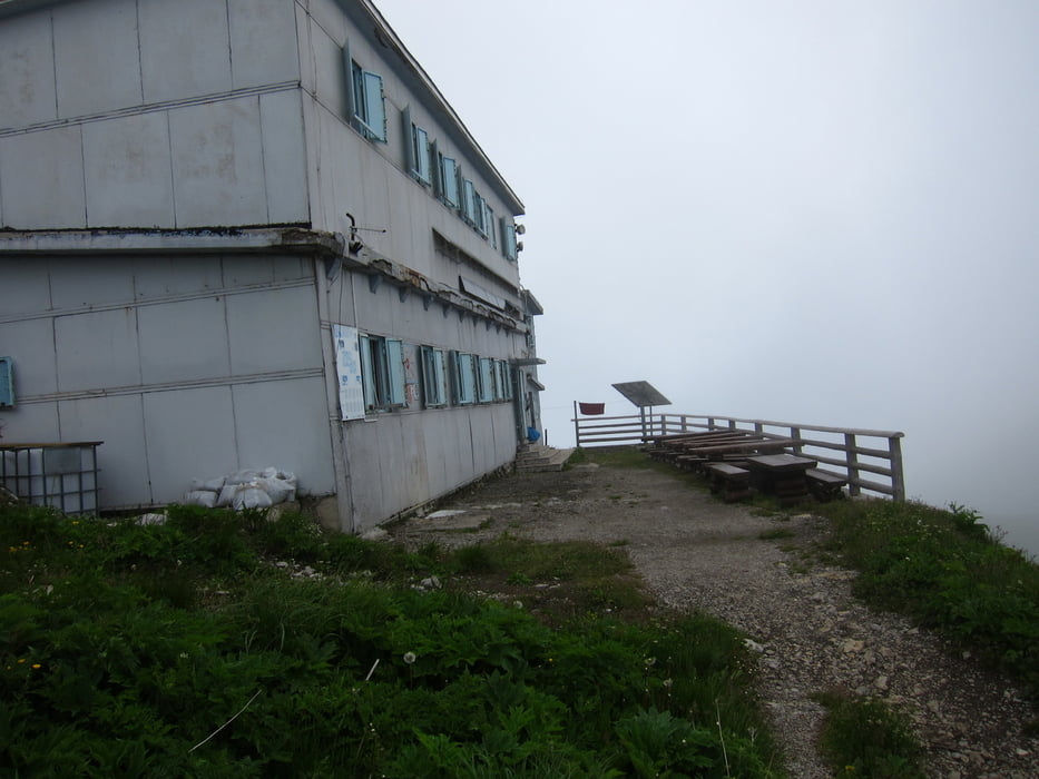
Io sono partito dal paesini di Rut, in Baska Grapa. Seguendo la segnaletica sono salito prima sul Rodica, poi con bellissimo percorso in cresta, prima sul Matajurski ed infine sul Crna Prst e al relativo rifugio. Quindi velocemente sono sceso e ho attraversato, su asfalto i paesini di Cal e Strzisce. e quindi lungamente in piano sono ritornato all'auto. Attenzione che nel tracciato gps, dopo aver attraversato Strzisce, ai segnavia che io l'ho leggermente allungato.
Further information at
http://www.hribi.net/gora/crna_prst/1/87Tour gallery
Tour map and elevation profile
Minimum height 99999 m
Maximum height -99999 m
More about the tour author
|
|
sioni |
Comments

Da Tolmino scendere a Most na soci, quindi seguire per Skofja Loka, ma al primo incrocio seguire indicazioni per Podbordo e val Baca. Poi al paesino di Koritnica svoltare a sx per l'omonima valle sino a Rut, e continuare per strada bianca sino ad incrociare la carrareccia che arriva da Strzisce
GPS tracks
Trackpoints-
GPX / Garmin Map Source (gpx) download
-
TCX / Garmin Training Center® (tcx) download
-
CRS / Garmin Training Center® (crs) download
-
Google Earth (kml) download
-
G7ToWin (g7t) download
-
TTQV (trk) download
-
Overlay (ovl) download
-
Fugawi (txt) download
-
Kompass (DAV) Track (tk) download
-
Track data sheet (pdf) download
-
Original file of the author (gpx) download
More about the tour author
|
|
sioni |
Add to my favorites
Remove from my favorites
Edit tags
Open track
My score
Rate