


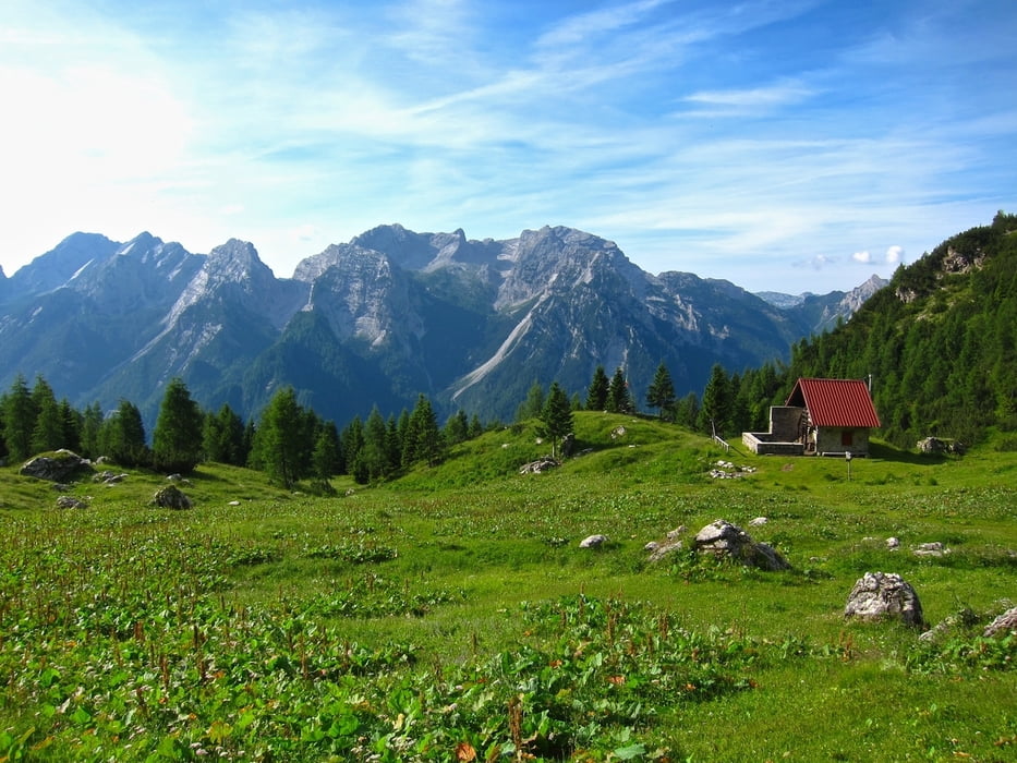
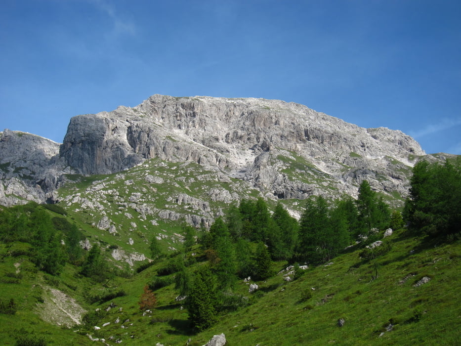
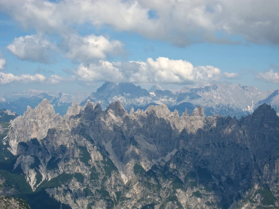
Percorrendo lungamente la sterrata val Settimana, si raggiunge il parcheggio a quota 907. Qui inizia il sentiero 366 per Casera Pramaggiore 1812. Arrivati alla casera si gode di una splendida vista sul Pramaggiore. Il sentiero prosegue sino alla forcella Pramaggiore, dove ha inizio la parte più impegnativa. E' segnalata con bolli rossi, molto intuitiva, ma richiede passo sicuro e qualche volta bisogna appoggiare le mani. Dalla vetta si ammira un bellissimo panorama su tutte le vette del parco, e oltre.
Ritornati alla casera, si segue le indicazioni sent. 388-370. Portandosi in val del Clap e scendendo poi lungo uno stretto prato affiancato dal bosco chiamato Filone Crosetta si arriva alla forcella Conters. Qui si devia a destra arrivando ad un bivio con fontana in legno. Tutto questo tratto dalla casera Pramaggiore è molto bello e caratteristico. Al bivio si segue il sentiero 370 recentemente ristrutturato con dei ponticelli in legno nei punti franati, e arrivando al ponte Ciarter 867, quindi con 15 minuti di strada bianca si ritorna all'auto.
Further information at
http://www.sentierinatura.it/EasyNE2/LYT.aspx?Code=SentieriNatura&IDLYT=1349&ST=SQL&SQL=ID_Documento=2021Tour gallery
Tour map and elevation profile
Minimum height 99999 m
Maximum height -99999 m
More about the tour author
|
|
sioni |
Comments

La val Settimana è una stretta valle nelle Prealpi Carniche. Per raggiungerla bisogna imboccare la Val Cellina da Montereale passando per Barcis, seguendo la direzione Cimolais. Dopo il ponte sul torrente Cimoliana, prima di Cimolais, si prende direzione di Claut, ma senza raggiungere l'abitato sulla sinistra ci si inoltra nella val Settimana, seguendo le indicazione per il rifugio Pussa.
GPS tracks
Trackpoints-
GPX / Garmin Map Source (gpx) download
-
TCX / Garmin Training Center® (tcx) download
-
CRS / Garmin Training Center® (crs) download
-
Google Earth (kml) download
-
G7ToWin (g7t) download
-
TTQV (trk) download
-
Overlay (ovl) download
-
Fugawi (txt) download
-
Kompass (DAV) Track (tk) download
-
Track data sheet (pdf) download
-
Original file of the author (gpx) download
More about the tour author
|
|
sioni |
Add to my favorites
Remove from my favorites
Edit tags
Open track
My score
Rate