Login

Forgot your login?

Cookies have to be accepted!
Your browser's cookie functionality is disabled. Please enable this functionality.

Not a member yet?

Register now
Login

Available for registred users only

Log in to use this feature.

Forgot your login?

Cookies have to be accepted!
Your browser's cookie functionality is disabled. Please enable this functionality.

Not a member yet?

Register now
Filter
Categories
Advanced filters
  • Distance (km)
  • Height
Save filters Reset filter

TrackRank

QRCode

Technical data

Distance16,2 km Height936 m Way down1023 m Duration04:31 h:m Date21.07.2015
Scores Author Landscape Fun factor Fitness Technique

Statistics

179 Views Scores 40 Downloads Average
Rate
  • Track data sheet
  • Directions
  • Downloads

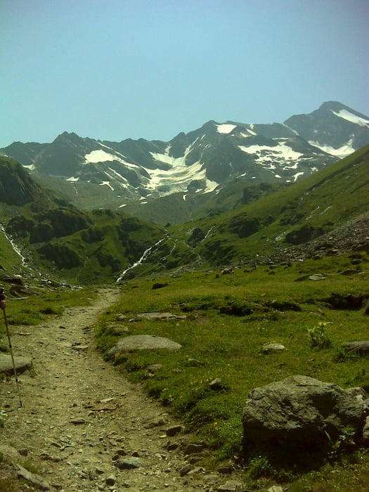
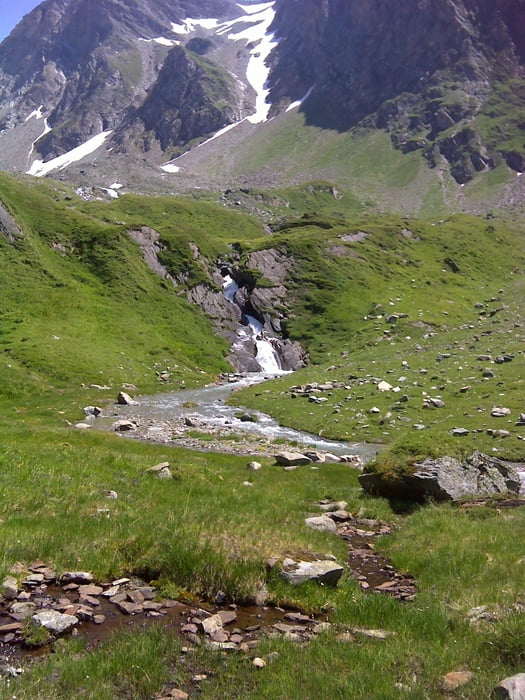
Sehr schöne Bergwanderung, Anfangs noch auf Forstwegen später so wie man sichs vorstellt...


Tour gallery

Tour map and elevation profile

  • Open Street Map
  • Google
Minimum height 1614 m Maximum height 2608 m Detailed view

More about the tour author

SuchdenFlow
Member since 2011

Send private message

Comments

Wir sind mit dem Örtlichen Busverkehr nach Kasern gefahren... tolle Busverbindungen.

GPS tracks

Trackpoints
  • GPX / Garmin Map Source (gpx) download
  • TCX / Garmin Training Center® (tcx) download
  • CRS / Garmin Training Center® (crs) download
  • Google Earth (kml) download
  • G7ToWin (g7t) download
  • TTQV (trk) download
  • Overlay (ovl) download
  • Fugawi (txt) download
  • Kompass (DAV) Track (tk) download
  • Track data sheet (pdf) download
  • Original file of the author (gpx) download

More about the tour author

SuchdenFlow
Member since 2011

Send private message
Share track
Add to my favorites
Remove from my favorites
Edit tags
My score
Rate
Track: Lenkjöchl
Type: Hiking
Distance: 16,2 km
Evaluated on:
Duration:
Day(s)
Hour(s)
Minute(s)
Score: Landscape Fun factor Fitness Technique