

Wir haben unser Auto in Weissenbach in der nähe von einer Bushaltestelle abgestellt, weil es keine Rundwanderung ist.
Und sind mit dem Bus um 9.00 Uhr zur Speikboden Bahn gefahren und mit der Bahn hoch bis zur Sonnklarhütte, somit haben wir ein paar Höhenmeter uns Geschenkt. Das war auch besser so.
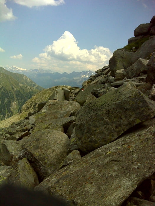
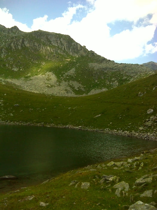
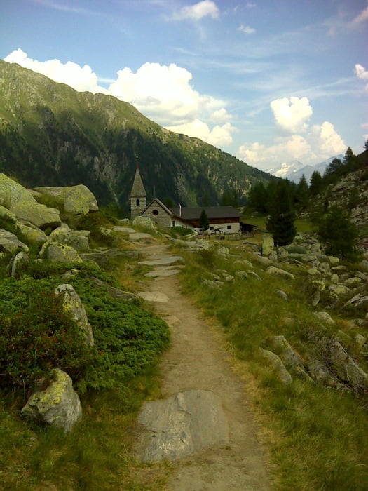
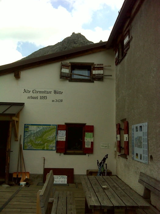
Von dort geht die Wanderung dann auch schon los. Immer auf denm Kellerbauerweg bis zur Chemnitzer Hütte. Dort steigt man ab zur Gögealm und weiter bis nach Weissenbach wo das Auto steht.
Tour gallery

Tour map and elevation profile
Minimum height 981 m
Maximum height 2443 m
More about the tour author

|
SuchdenFlow |
Comments

GPS tracks
Trackpoints-
GPX / Garmin Map Source (gpx) download
-
TCX / Garmin Training Center® (tcx) download
-
CRS / Garmin Training Center® (crs) download
-
Google Earth (kml) download
-
G7ToWin (g7t) download
-
TTQV (trk) download
-
Overlay (ovl) download
-
Fugawi (txt) download
-
Kompass (DAV) Track (tk) download
-
Track data sheet (pdf) download
-
Original file of the author (gpx) download
More about the tour author
|
|
SuchdenFlow |
Add to my favorites
Remove from my favorites
Edit tags
Open track
My score
Rate