


Wir, 2 Flachlandtiroler aus dem Ruhrgebiet sind vom Hotel Halde gestartet.
Wir fahren über Notschrei und Stübenwasen in Richtung Feldberg. Wir halten uns unterhalb des Gipfels und biegen ab zur St. Wilhelmer Hütte. Von dort geht es in Richtung Toter Mann. Vom Hauptweg biegt man nach links in einen kleinen Trail. Oben etwas ruppig, dann gut fahrbar.
Am Ende sind wir leider auf den Hauptweg gefahren (und nicht auf den gelben Dreieck in Richtung Toter Mann geblieben). So sind wir auf einer Waldautobahn in Richtung Kluse gefahren. Dort sind wir auf einen steinigen Trail umgestiegen (etwas mehr geschoben als gefahren).. Am Ende sind wir durch eine wunderschönes Tal (Zastler Tal) gefahren, doch leider auf Asphalt.
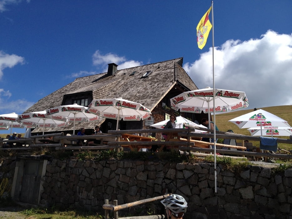
In Oberried angekommen geht es knapp 800 Höhenmeter in Richtung Rappenecker Hütte auf den Schauinsland. Erst steil auf Asphalt, dann weiter etwas flacher und später auf Schotter. Knackig, aber gut fahrbar..
Am Ende zum Hotel Halde zurück und lecker gegessen.
Further information at
http://www.halde.comTour gallery

Tour map and elevation profile
Minimum height 471 m
Maximum height 1394 m
More about the tour author

|
Slayer |
Comments

Vom Hotel Halde geht es los.
www.halde.com
GPS tracks
Trackpoints-
GPX / Garmin Map Source (gpx) download
-
TCX / Garmin Training Center® (tcx) download
-
CRS / Garmin Training Center® (crs) download
-
Google Earth (kml) download
-
G7ToWin (g7t) download
-
TTQV (trk) download
-
Overlay (ovl) download
-
Fugawi (txt) download
-
Kompass (DAV) Track (tk) download
-
Track data sheet (pdf) download
-
Original file of the author (gpx) download
More about the tour author
|
|
Slayer |
Add to my favorites
Remove from my favorites
Edit tags
Open track
My score
Rate