


Diese Tour ist eine Erweiterung meiner Tour Mangfalltal-Leitzach-Trails und ist durch jahrelanges Probefahren in dem Gebiet entstanden.
Wir starten bei den Bayernkamelen bei Grub (Landkreis Miesbach), wo auch ein paar Parkplätze vorhanden sind. Die Tour ist konditionell recht anspruchsvoll und vereint meiner Meinung nach die schönsten Mangfalltal-Trails (meist bergab) indem wir die Mangfall immer wieder queren. Ich verzichte aus diesem Grund auch auf eine genaue Beschreibung des Tourverlaufs und verweise auf den GPS-Track. Alle Wege zu erklären ist leider etwas kompliziert :-)
Kulturelle / historische Besonderheiten:
- Wallburg (oder Birg) bei Kleinhöhenkirchen
- Keltisches Oppidum bei Fentbach
Einkehrmöglichkeiten:
- Mangfalltalalm
- Maxlmühle
- Die Bruckmühle
- Lindl, Fentbach
- Diverse Lokale in Westerham
- Goldenes Tal, Naring
- Alter Wirt, Weyarn
Viel Spass beim Nachfahren :-)
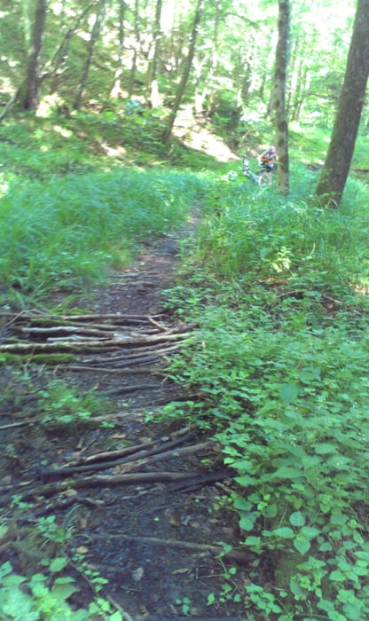
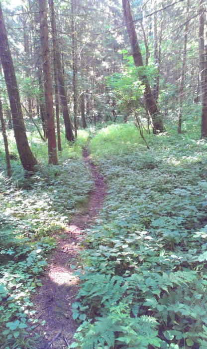
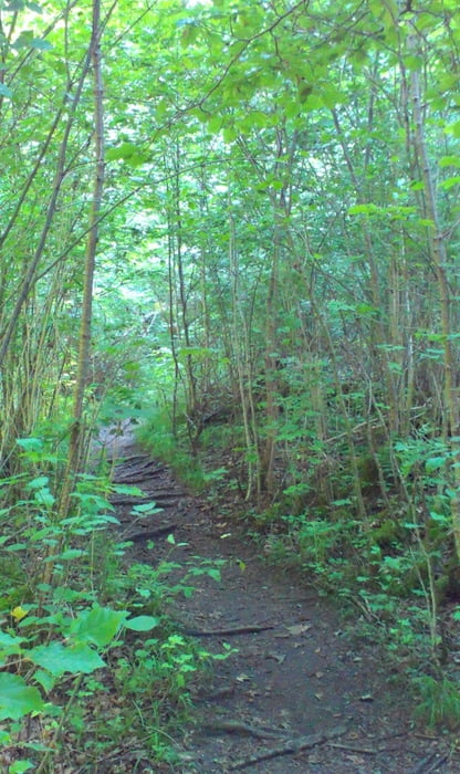
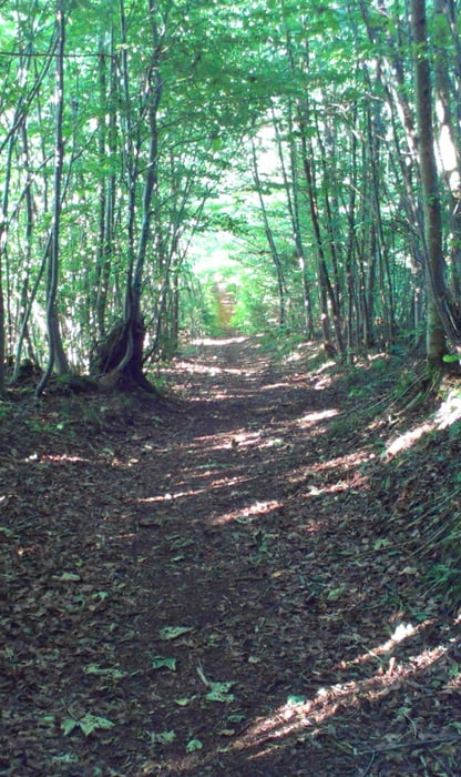
Tour gallery
Tour map and elevation profile
Minimum height 539 m
Maximum height 702 m
More about the tour author
|
|
ch-alex |
Comments

Anfahrt über A8 München - Salzburg, Ausfahrt Holzkirchen, an der Ausfahrt dann rechts abbiegen, noch ca. 800m wieder rechts nach Fellach/Kreuzstraße abbiegen, bei Grub (bevor es denn Berg hochgeht dann links abbiegen und am Straßenrand parken.
Link zu Google Maps:
Bayernkamele, Grub
GPS tracks
Trackpoints-
GPX / Garmin Map Source (gpx) download
-
TCX / Garmin Training Center® (tcx) download
-
CRS / Garmin Training Center® (crs) download
-
Google Earth (kml) download
-
G7ToWin (g7t) download
-
TTQV (trk) download
-
Overlay (ovl) download
-
Fugawi (txt) download
-
Kompass (DAV) Track (tk) download
-
Track data sheet (pdf) download
-
Original file of the author (gpx) download
More about the tour author
|
|
ch-alex |
Add to my favorites
Remove from my favorites
Edit tags
Open track
My score
Rate