Login

Forgot your login?

Cookies have to be accepted!
Your browser's cookie functionality is disabled. Please enable this functionality.

Not a member yet?

Register now
Login

Available for registred users only

Log in to use this feature.

Forgot your login?

Cookies have to be accepted!
Your browser's cookie functionality is disabled. Please enable this functionality.

Not a member yet?

Register now
Filter
Categories
Advanced filters
  • Distance (km)
  • Height
Save filters Reset filter

TrackRank

QRCode

Technical data

Distance595,1 km Height1812 m Way down1867 m Duration8 days 0 h Date13.08.2015
Scores Author Landscape Fun factor Fitness Technique

Statistics

200 Views Scores 19 Downloads Average
Rate
  • Track data sheet
  • Directions
  • Downloads

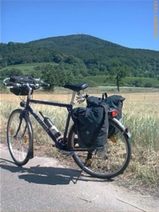
Das ist die gesamte Tour mit 8 Tagesetappen von Ulm nach Freilassing über Salzburg. Das Gepäck wird am Rad mitgeführt. Erstmalig wurden alle Übernachtungen vorab gebucht.

 ACHTUNG: es handelt sich um Original-Tracks. Es wurde keine Änderung vorgenommen
 

Further information at

http://www.biketripps.de

Tour map and elevation profile

  • Open Street Map
  • Google
Minimum height 267 m Maximum height 503 m Detailed view

More about the tour author

JN
Member since 2009

Send private message

Comments

GPS tracks

Trackpoints
  • GPX / Garmin Map Source (gpx) download
  • TCX / Garmin Training Center® (tcx) download
  • CRS / Garmin Training Center® (crs) download
  • Google Earth (kml) download
  • G7ToWin (g7t) download
  • TTQV (trk) download
  • Overlay (ovl) download
  • Fugawi (txt) download
  • Kompass (DAV) Track (tk) download
  • Track data sheet (pdf) download
  • Original file of the author (gpx) download

More about the tour author

JN
Member since 2009

Send private message
Share track
Add to my favorites
Remove from my favorites
Edit tags
My score
Rate
Track: 2015 Gesamttour Donau - Inn/Salzach
Type: Trekkingbike
Distance: 595,1 km
Evaluated on:
Duration:
Day(s)
Hour(s)
Minute(s)
Score: Landscape Fun factor Fitness Technique