
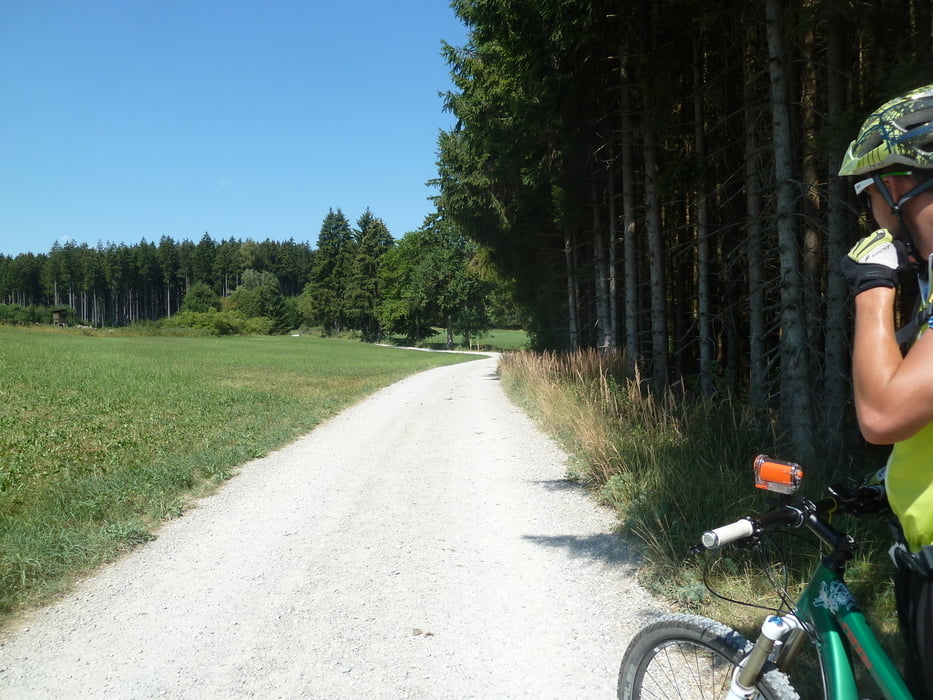

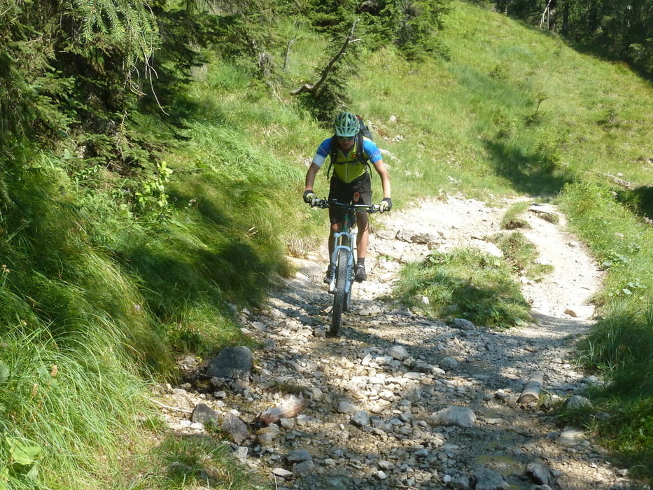
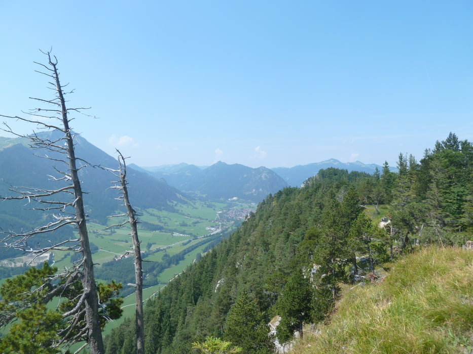
In 7 Tagesetappen, manche kurz ( 38 Grad ), Landschaftlich abwechslungsreich durchs Allgäu und Karwendel. Von Isny nach Sonthofen und am Innradweg hoher Teeranteil, sonst immer wieder Trailstücke. Super Trailabfahrt zwischen Pfronten und Füssen, ca. 30 Minuten bergauf schieben und tragen, und zum Plansee. Tag 5 war anders geplant, fiel aber Quartiersuche zum Opfer, Mittenwald war ausgebucht.
Etappen
Kaufbeuren- Mittelberg 56 km 850 hm
Mittelberg- Isny 59 km 1200 hm
Isny- Sonthofen 65 km 1650 hm
Sonthofen- Buching 70 km 1350 hm
Buching- Krün 66 km 1050 hm
Krün- Maurach 75 km 1800 hm
Maurach- Rosenheim 95 km 250 hm
Tour gallery
Tour map and elevation profile
Minimum height 442 m
Maximum height 2227 m
More about the tour author
|
|
wacke |
Comments

GPS tracks
Trackpoints-
GPX / Garmin Map Source (gpx) download
-
TCX / Garmin Training Center® (tcx) download
-
CRS / Garmin Training Center® (crs) download
-
Google Earth (kml) download
-
G7ToWin (g7t) download
-
TTQV (trk) download
-
Overlay (ovl) download
-
Fugawi (txt) download
-
Kompass (DAV) Track (tk) download
-
Track data sheet (pdf) download
-
Original file of the author (gpx) download
More about the tour author
|
|
wacke |
Add to my favorites
Remove from my favorites
Edit tags
Open track
My score
Rate