

Alpencross 2015, von Unterkirnach an den Gardasee in 6 Tagen.
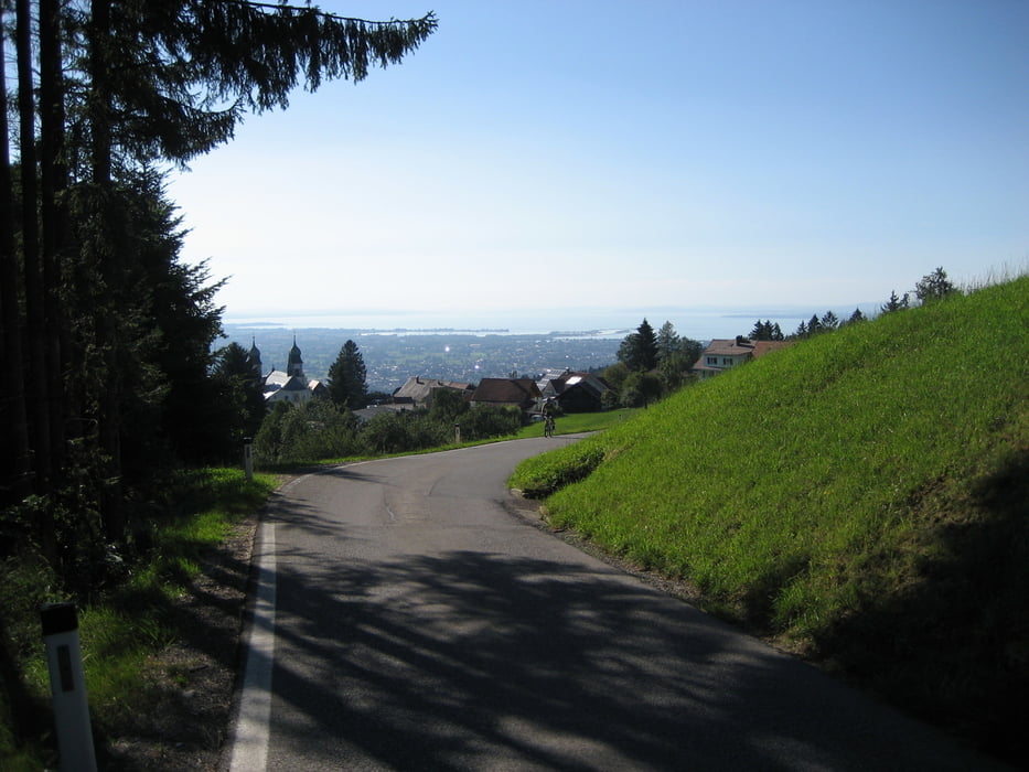
Etappe1: Unterkirnach-Schwarzenberg (195km/1700hm)
Unterkirnach-Donaueschingen-Geisingen-Hegau-Konstanz-Kreuzlingen-Rohrschach-St. Magarethen-Alberschwende-Schwarzenberg
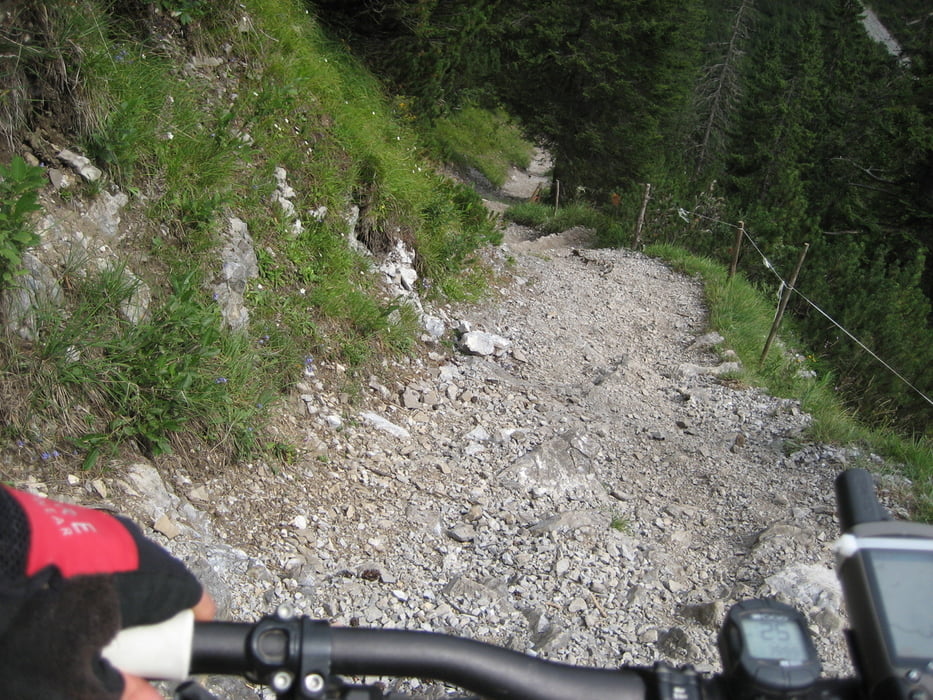
Etappe2:Schwarzenberg-Kristbergsattel (80km/2760hm)
Schwarzenberg-Bezau-Bizau-Schnepfau-Schopernau-Schröcken-untere Auenfeldalpe-Lech-Formarinsee-Rauhes Joch-Dalaas-Kristbergsattel
Etappe3:Kristbergsattel-Zuoz (87km/3140hm)
Kristbergsattel-Schruns-Galgenul-Gargellen-Schlappiner Joch, Schlappin, Klosters, Davos, Scaletta Pass, S-Chanf, Zuoz
Etappe4:Zuoz-Santa Caterina (75km/2120hm)
Zuoz-Caschauna Pass-Livigno-Alpisella-Bormio-Santa Caterina
Etappe5:Santa Caterina-Madonna di Campiglio (91km/2830hm)
Santa-Caterina-Gavia Pass-Pezzo-Case di Visio-Montozzo-Cogolo-Dimaro-Madonna di Campiglio
Etappe6:Madonna di Campiglio-Rovereto (95km/1630hm)
Madonna di Campiglio-Passo Bregna-Stenico-Riva del garda-Torbole-Rovereto
Tag7: mit dem Zug über Bozen auf den Brenner, dort mit dem Bike auf der Straße nach Innsbruck. Dann wieder weiter mit dem Zug nach Feldkirch, Lindau, Friedrichshafen, Singen, Villingen
Tour gallery


Tour map and elevation profile
Minimum height 69 m
Maximum height 2687 m
More about the tour author
|
|
hagbard |
Comments

GPS tracks
Trackpoints-
GPX / Garmin Map Source (gpx) download
-
TCX / Garmin Training Center® (tcx) download
-
CRS / Garmin Training Center® (crs) download
-
Google Earth (kml) download
-
G7ToWin (g7t) download
-
TTQV (trk) download
-
Overlay (ovl) download
-
Fugawi (txt) download
-
Kompass (DAV) Track (tk) download
-
Track data sheet (pdf) download
-
Original file of the author (gpx) download
More about the tour author
|
|
hagbard |
Add to my favorites
Remove from my favorites
Edit tags
Open track
My score
Rate