
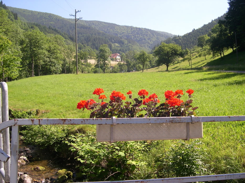

Die Tour startet in Bleibach. Von dort geht es nach Simonswald. Im Ortszentrum biegen wir rechts ab nach Haslachsimonswald. Nach einigen Kilometern geht es rechts ab in Richtung Hörnleberg. Kurz vor dem Hörnleberg geht es nach rechts in Richtung Tafelbühl (Vorsicht: Kurze steile Abfahrt.). Danach folgt ein zum Teil steiler Anstieg. Unterhalb des Tafelbühl beginnt die Abfahrt nach Yach. Durch das obere Elztal gelangen wir wieder zurück an den Ausgangspunkt.
Tour map and elevation profile
Minimum height 301 m
Maximum height 1014 m
More about the tour author

|
ruf_markus |
Comments

Von Freiburg aus besteht die Möglichkeit, mit der Breisgau S-Bahn anzureisen. Die Fahrradbeförderung ist auf dieser Strecke nicht kostenlos!
GPS tracks
Trackpoints-
GPX / Garmin Map Source (gpx) download
-
TCX / Garmin Training Center® (tcx) download
-
CRS / Garmin Training Center® (crs) download
-
Google Earth (kml) download
-
G7ToWin (g7t) download
-
TTQV (trk) download
-
Overlay (ovl) download
-
Fugawi (txt) download
-
Kompass (DAV) Track (tk) download
-
Track data sheet (pdf) download
-
Original file of the author (gpx) download
More about the tour author
|
|
ruf_markus |
Add to my favorites
Remove from my favorites
Edit tags
Open track
My score
Rate