
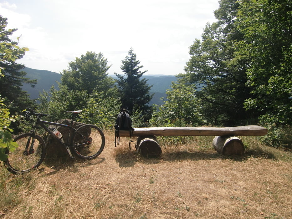

Ausgangspunkt der Tour ist das Ortszentrum von Simonswald. Auf Schleichwegen abseits der Straße fahren wir talaufwärts bis zum Abzweig ins Griesbachtal. Im Griesbachtal geht es an einer Kreuzung bald eine Straße nach links steil aufwärts. Nun geht es im Wald weiter zum Ibichhof und von dort über den Ibichkopf zum Gfällhof. Beim Gfällhof geht es rechts ab Richtung Tafelbühl, von wo aus man eine schöne Aussicht sowohl ins Simonswäldertal als auch ins Elztal genießen kann. Es folgt eine technisch anspruchsvolle Abfahrt, bei der diejenigen, die nicht ganz sicher auf ihrem Bike sind, besser absteigen sollten. Nach längerer Abfahrt kommt noch einmal ein schweißtreibender Anstieg zum Hörnleberg. Danach geht es abwärts durch Haslachsimonswald zurück zum Ausgangspunkt nach Simonswald.
Tour map and elevation profile
Minimum height 367 m
Maximum height 1098 m
More about the tour author

|
ruf_markus |
Comments

Von Freiburg über die B-294 in Richtung Elztal. Bei der Ausfahrt Bleibach die B-294 verlassen und weiter nach Simonswald fahren. Beim Ausgangspunkt der Tour ist ein Großparkplatz vorhanden.
GPS tracks
Trackpoints-
GPX / Garmin Map Source (gpx) download
-
TCX / Garmin Training Center® (tcx) download
-
CRS / Garmin Training Center® (crs) download
-
Google Earth (kml) download
-
G7ToWin (g7t) download
-
TTQV (trk) download
-
Overlay (ovl) download
-
Fugawi (txt) download
-
Kompass (DAV) Track (tk) download
-
Track data sheet (pdf) download
-
Original file of the author (gpx) download
More about the tour author
|
|
ruf_markus |
Add to my favorites
Remove from my favorites
Edit tags
Open track
My score
Rate