
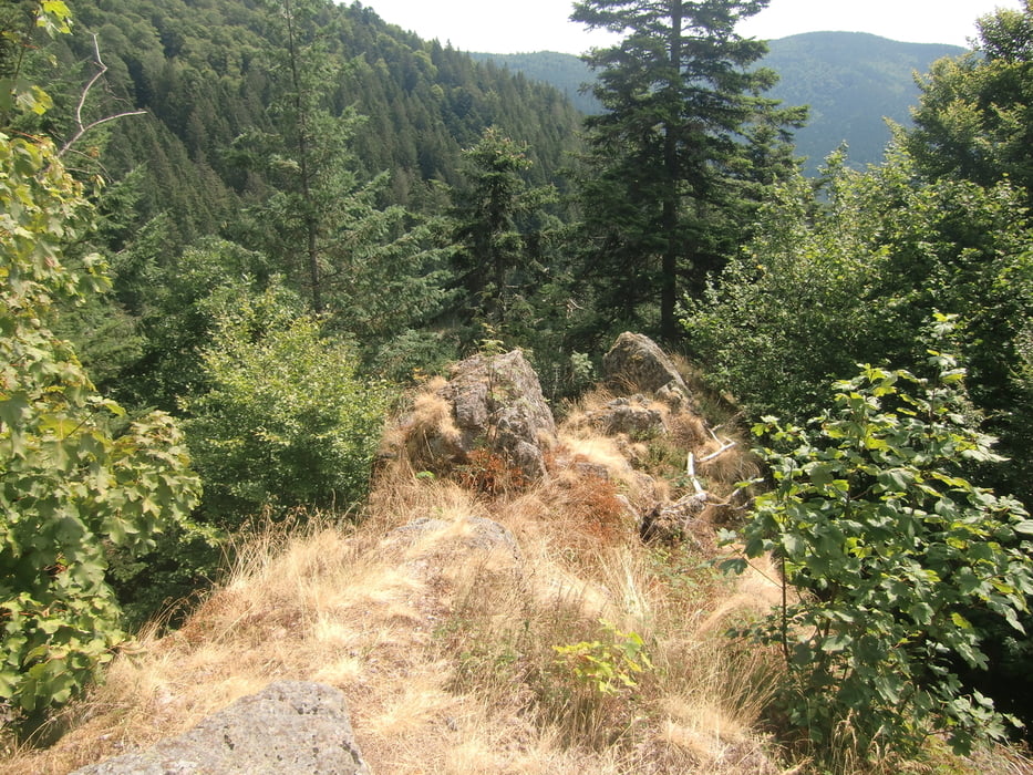

Ausgangspunkt der Tour ist Bleibach Von dort geht es in das Ortszentrum von Simonswald. Auf Schleichwegen abseits der Straße fahren wir talaufwärts bis zum Abzweig ins Griesbachtal. Im Griesbachtal geht es an einer Kreuzung bald eine Straße nach links steil aufwärts. Nun geht es im Wald weiter zum Ibichhof und von dort zum Rohrhardsberg. Von dort geht es ein Stück auf dem Yacher Höhenweg und weiter zum Gschasifelsen mit kleiner Schutzhütte. Von dort kann man die herrliche Aussicht über das Elztal genießen. Es folgt eine zum Teil anspruchsvolle Abfahrt ins Reichenbachtal. Von dort kann man es bis nach Elzach ausrollen lassen. Durch das obere Elztal gelangt man zurück zum Ausgangspunkt Bleibach.
Tour map and elevation profile
Minimum height 288 m
Maximum height 1160 m
More about the tour author

|
ruf_markus |
Comments

Von Freiburg aus besteht die Möglichkeit, mit der Breisgau S-Bahn nach Bleibach zu gelangen. Die Fahrradbeförderung ist auf dieser Strecke nicht kostenlos!
GPS tracks
Trackpoints-
GPX / Garmin Map Source (gpx) download
-
TCX / Garmin Training Center® (tcx) download
-
CRS / Garmin Training Center® (crs) download
-
Google Earth (kml) download
-
G7ToWin (g7t) download
-
TTQV (trk) download
-
Overlay (ovl) download
-
Fugawi (txt) download
-
Kompass (DAV) Track (tk) download
-
Track data sheet (pdf) download
-
Original file of the author (gpx) download
More about the tour author
|
|
ruf_markus |
Add to my favorites
Remove from my favorites
Edit tags
Open track
My score
Rate