


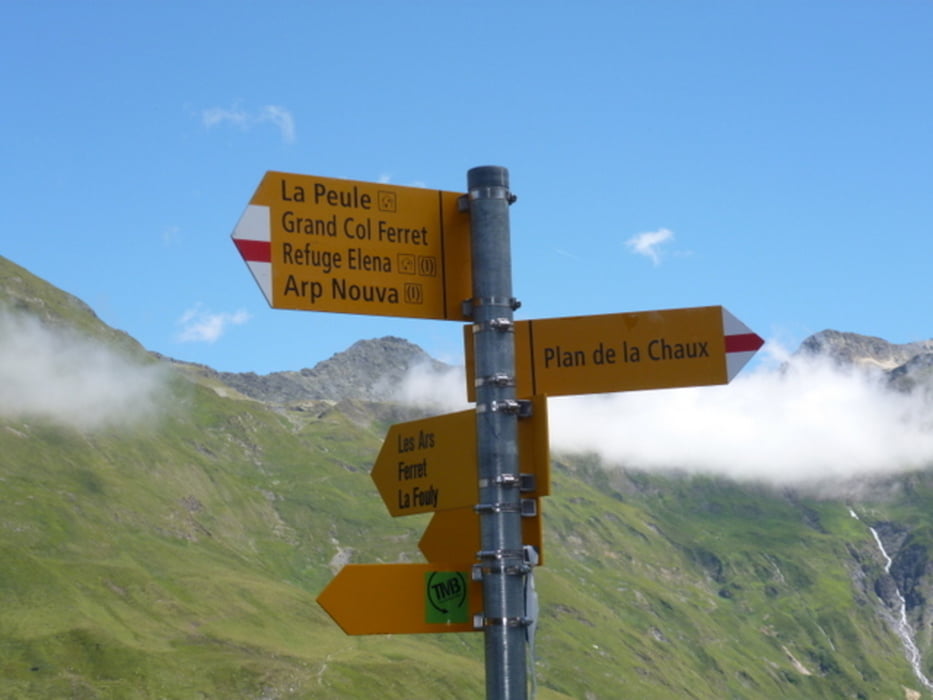
Die Auffahrt zum Col Ferret hat es zum Schluß hin in sich. Irgendwann ist Schieben sinnvoller, da man ja nicht gleich am ersten Tag seine Kräfte verpulvern möchte.
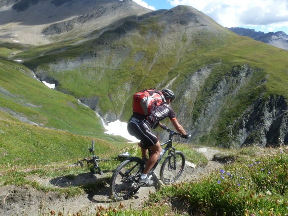
Nachdem man den Paß erreicht und sich satt gesehen hat, folgt ein wunderschöner steiler Singletrail (Vorsicht: Abflußrillen aus Stein -> Snakebitegefahr) zum Rif. Elena (vorherige Reservierung sinnvoll).
Tour gallery


Tour map and elevation profile
Minimum height 1072 m
Maximum height 2540 m
More about the tour author
|
|
CF2008 |
Comments

Auto haben wir am Parkplatz (Nähe Seilbahn) in Champex gelassen.
GPS tracks
Trackpoints-
GPX / Garmin Map Source (gpx) download
-
TCX / Garmin Training Center® (tcx) download
-
CRS / Garmin Training Center® (crs) download
-
Google Earth (kml) download
-
G7ToWin (g7t) download
-
TTQV (trk) download
-
Overlay (ovl) download
-
Fugawi (txt) download
-
Kompass (DAV) Track (tk) download
-
Track data sheet (pdf) download
-
Original file of the author (gpx) download
More about the tour author
|
|
CF2008 |
Add to my favorites
Remove from my favorites
Edit tags
Open track
My score
Rate