Login

Forgot your login?

Cookies have to be accepted!
Your browser's cookie functionality is disabled. Please enable this functionality.

Not a member yet?

Register now
Login

Available for registred users only

Log in to use this feature.

Forgot your login?

Cookies have to be accepted!
Your browser's cookie functionality is disabled. Please enable this functionality.

Not a member yet?

Register now
Filter
Categories
Advanced filters
  • Distance (km)
  • Height
Save filters Reset filter

TrackRank

QRCode

Technical data

Distance24,4 km Height675 m Way down661 m Duration02:00 h:m Date26.08.2015
Scores Author Landscape Fun factor Fitness Technique

Statistics

149 Views Scores 18 Downloads Average
Rate
  • Track data sheet
  • Directions
  • Downloads
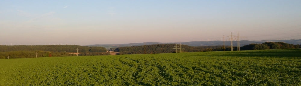
Vom Sportplatz Faulbach am Mainhang entlang nach Hasloch und weiter bis zum Röttbach. Dann nach Norden abbiegend zunächst auf der Höhe uind dann hinunter ins Kropfbachtal. An der Kartause vorbei hinauf zum Sandacker und dann nach Hasselberg und den Trail zum Sportplatz Faulbach hinunter.

Further information at

http://www.kartause-gruenau.de/

Tour gallery

Tour map and elevation profile

  • Open Street Map
  • Google
Minimum height 128 m Maximum height 394 m Detailed view

More about the tour author

grenz-pfad-fahrer
Member since 2009

Send private message

Comments

Emmerich1 on 08.04.2016

Wilde Holzarbeiten!

Die Tour ist landschaftlich wunderschön ab Hasloch würde ich aber sie anderstrum fahren, da bergab ein schöner trail ist. Und ab Kartause ist der Weg dermassen durch die Waldarbeiter ruinniert, dass es eine Zumutung ist!!!!
Startpunkt ist am Sportplatz in Faulbach. Von Wertheim aus kommend direkt am ersten Kreisel.

GPS tracks

Trackpoints
  • GPX / Garmin Map Source (gpx) download
  • TCX / Garmin Training Center® (tcx) download
  • CRS / Garmin Training Center® (crs) download
  • Google Earth (kml) download
  • G7ToWin (g7t) download
  • TTQV (trk) download
  • Overlay (ovl) download
  • Fugawi (txt) download
  • Kompass (DAV) Track (tk) download
  • Track data sheet (pdf) download
  • Original file of the author (gpx) download

More about the tour author

grenz-pfad-fahrer
Member since 2009

Send private message
Share track
Add to my favorites
Remove from my favorites
Edit tags
My score
Rate
Track: Rund um Hasselberg
Type: Mountain bike
Distance: 24,4 km
Evaluated on:
Duration:
Day(s)
Hour(s)
Minute(s)
Score: Landscape Fun factor Fitness Technique