

Ablauf:ein Auto am Weißenstadter See parken mit dem andern und den Rädern zum Startpunkt.
(man kann natürlich eine Runde daraus machen, aber 18:00 Feierabend und 20:00 finster da wird es knapp)
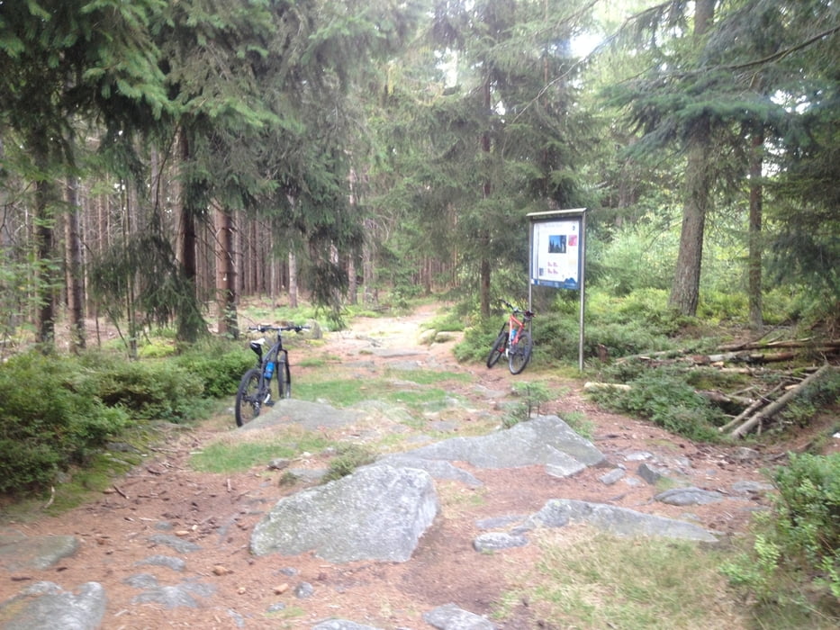
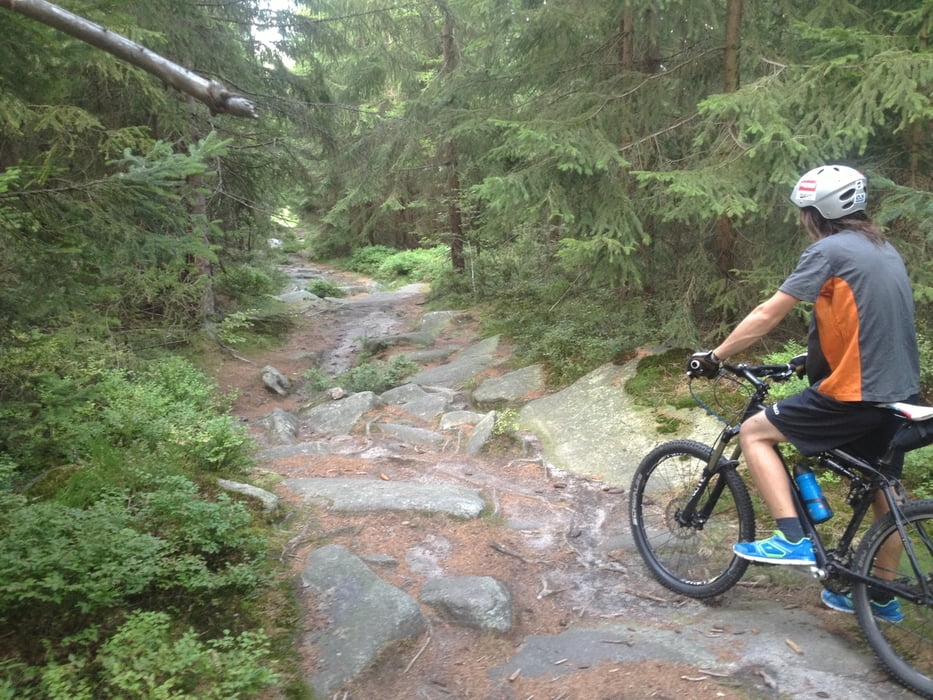
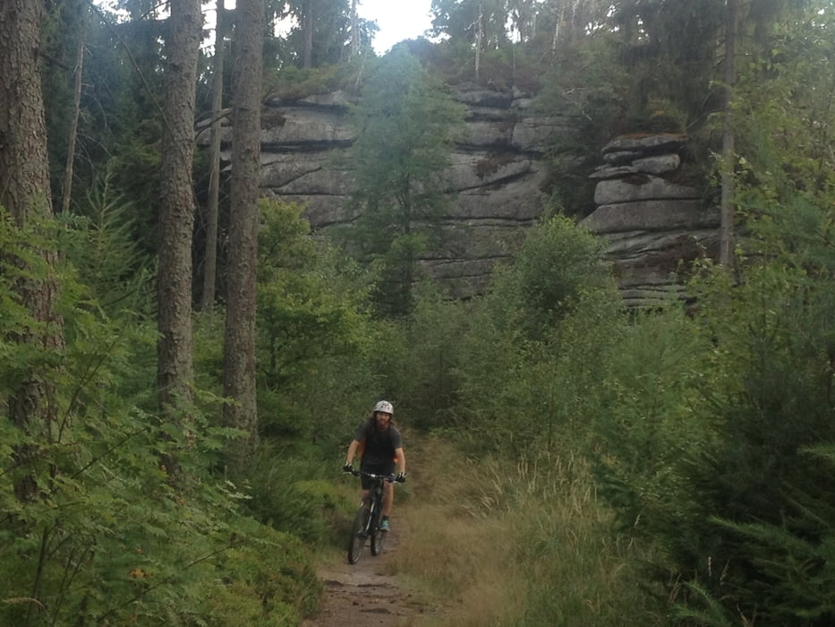
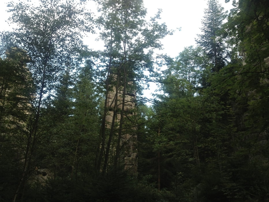
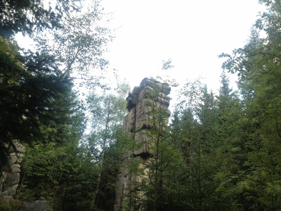
Also am Schneeberg die Reitschule (so heißt der Weg)hinab bis zum Rudolstein auf dem H-Weg über Weißenstadt hoch zum Waldstein dann am Steinbruch den Trail zurück nach Weißenstadt.
Insgesamt 70-80% Trailanteil !!!
Tour gallery
Tour map and elevation profile
Minimum height 625 m
Maximum height 977 m
More about the tour author
|
|
berndhuber |
Comments

A9 >B303Bischofsgrün>Weißenstadt
GPS tracks
Trackpoints-
GPX / Garmin Map Source (gpx) download
-
TCX / Garmin Training Center® (tcx) download
-
CRS / Garmin Training Center® (crs) download
-
Google Earth (kml) download
-
G7ToWin (g7t) download
-
TTQV (trk) download
-
Overlay (ovl) download
-
Fugawi (txt) download
-
Kompass (DAV) Track (tk) download
-
Track data sheet (pdf) download
-
Original file of the author (gpx) download
More about the tour author
|
|
berndhuber |
Add to my favorites
Remove from my favorites
Edit tags
Open track
My score
Rate