


Zum Auftakt unseres Urlaubes auf La Palma orientierten wir uns zuerst im Aridanetal.
Eigentlich starteten wir im Besucherzentrum der Caldera de Taburiente. Weil wir dort nur vom Parkplatz in das Gebäude gegangen sind fehlt der Track. Der Besuch lohnt sich trotzdem.
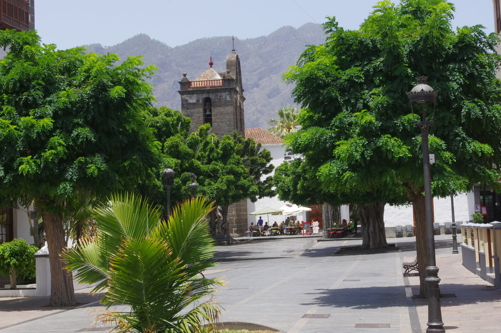
Danach besuchten wir Los Llanos der Ariadne. Wir wanderten in der Innenstadt umher und bewunderten die Gebäude, die Kanaldeckel und einen schönen botanischen Park.
Zum Schluss schauten wir noch in Puerto de Tazacorte vorbei um etwas Ozeanluft zu schnuppern. Zum Schluss gab es Eis und eine unentgeldliche Parcourvorführung.
Further information at
http://www.wetter.de/spanien/wetter-los-llanos-de-aridane-1869732.htmlTour gallery

Tour map and elevation profile
Minimum height 15 m
Maximum height 402 m
More about the tour author
|
|
Pheinz |
Comments

Start in der Innenstadt von Los Llanos de Ariadne
GPS tracks
Trackpoints-
GPX / Garmin Map Source (gpx) download
-
TCX / Garmin Training Center® (tcx) download
-
CRS / Garmin Training Center® (crs) download
-
Google Earth (kml) download
-
G7ToWin (g7t) download
-
TTQV (trk) download
-
Overlay (ovl) download
-
Fugawi (txt) download
-
Kompass (DAV) Track (tk) download
-
Track data sheet (pdf) download
-
Original file of the author (gpx) download
More about the tour author
|
|
Pheinz |
Add to my favorites
Remove from my favorites
Edit tags
Open track
My score
Rate