


Am Seibelseckle vorbei
Kloster Maulbronn,
Klosterruine Frauenalb ist ein beliebtes Ausflugsziel im Albtal
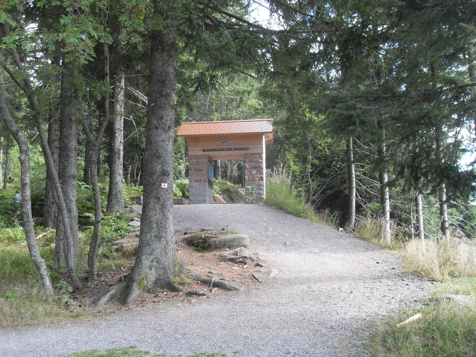
Schlosshotel Bühlerhöheder Mummelsee vor allem ein beliebtes Ziel für Touristen
Seibleseckle,
Baiersbronn,
Die Nagoldtalsperre bei Seewald-Erzgrube mit einer Gesamtlänge von 2.850 Metern, ist einer der grossen Wasserspeicher Baden-Württembergs und in den Sommermonaten beliebtes Ziel für Surfer, Taucher, Segler und sonstige Freunde des Wassersports.
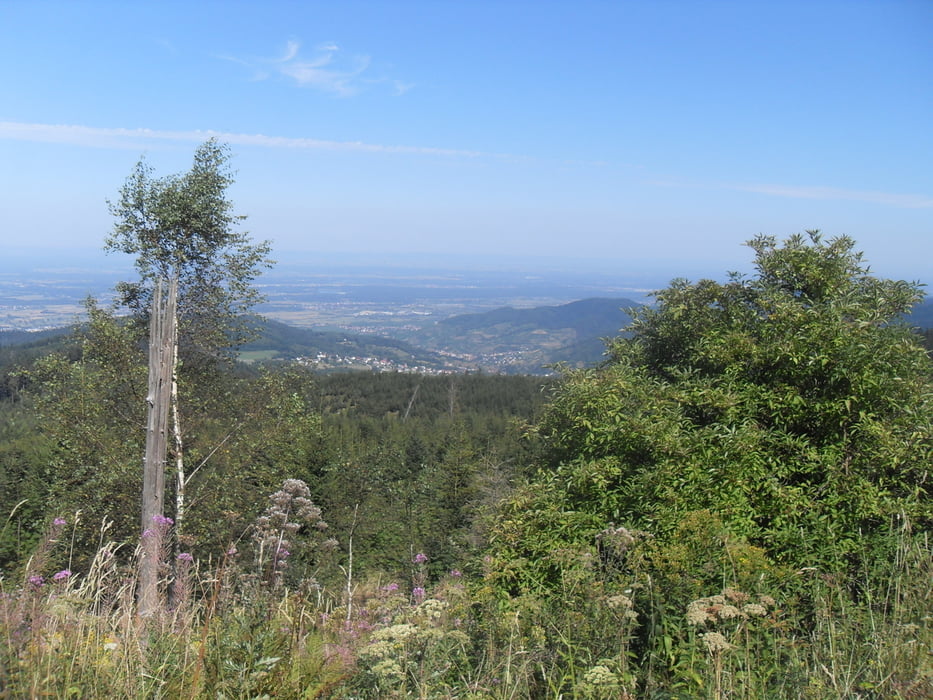
Und die Rückfahrt über die Stille Hochebene des Nordschwanzwald, bis zur abfahrt zum
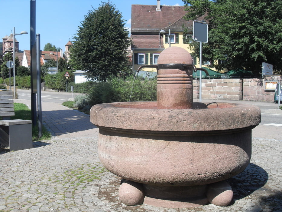
Kloster Hirsau, wo der Brunnen schon wartet. Noch zwei Stunden und man ist zurück wieder m Kraichgau.
Further information at
http://www.rsv-sulzfeld.deTour gallery
Tour map and elevation profile
Minimum height 155 m
Maximum height 1031 m
More about the tour author
|
|
Stefan68 |
Comments

Mit dem Rennrad
GPS tracks
Trackpoints-
GPX / Garmin Map Source (gpx) download
-
TCX / Garmin Training Center® (tcx) download
-
CRS / Garmin Training Center® (crs) download
-
Google Earth (kml) download
-
G7ToWin (g7t) download
-
TTQV (trk) download
-
Overlay (ovl) download
-
Fugawi (txt) download
-
Kompass (DAV) Track (tk) download
-
Track data sheet (pdf) download
-
Original file of the author (gpx) download
More about the tour author
|
|
Stefan68 |
Add to my favorites
Remove from my favorites
Edit tags
Open track
My score
Rate