
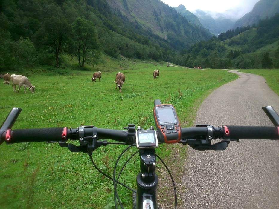

Die Tour startet an der Nebelhornbahn es geht an der Trettnach nach Gruben von dort über einen schönen Trail bergauf nach Spielmannsau von dort auf der anderen Seite der Trettnach am Christelsee vorbei wieder Richtung Oberstdorf über Moorweiher geht es an den Loretto Kapellen ins Stillachtal zur Breitgehrenalm dort Wendepunkt der Tour und wieder zurück nach Oberstdorf
Tour map and elevation profile
Minimum height 799 m
Maximum height 1162 m
More about the tour author
|
|
urmeleumel |
Comments

Parken kann man auf den Parkplätzen P1 oder P2 (5 Euro )
GPS tracks
Trackpoints-
GPX / Garmin Map Source (gpx) download
-
TCX / Garmin Training Center® (tcx) download
-
CRS / Garmin Training Center® (crs) download
-
Google Earth (kml) download
-
G7ToWin (g7t) download
-
TTQV (trk) download
-
Overlay (ovl) download
-
Fugawi (txt) download
-
Kompass (DAV) Track (tk) download
-
Track data sheet (pdf) download
-
Original file of the author (gpx) download
More about the tour author
|
|
urmeleumel |
Add to my favorites
Remove from my favorites
Edit tags
Open track
My score
Rate