


Einfache, aber schöne Almenrunde im Navistal.
Geparkt wird am Parkplatz Grün (3 Euro Gebühr). Von dort geht der Weg über die Peer Alm, die Klamm Alm, Polten Alm, Stöcker Alm (aktuell wegen Umbau nicht bewirtschaftet) zur Navishütte und von dort wieder zurück zum Parkplatz.
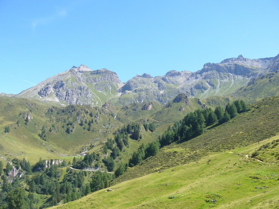
Insbesondere von der Polten Alm hat man einen wunderschönen Blick ins Navistal.
Um die Tour etwas zu verlängern bzw. anspruchsvoller zu gestalten, kann man noch einen Abstecher zum Kreuzjöchl einlegen.
Tour gallery

Tour map and elevation profile
Minimum height 1508 m
Maximum height 1954 m
More about the tour author

|
klixx |
Comments

Von Steinach ins Navistal bis nach Navis und dort zum oberen Parkplatz Grün.
GPS tracks
Trackpoints-
GPX / Garmin Map Source (gpx) download
-
TCX / Garmin Training Center® (tcx) download
-
CRS / Garmin Training Center® (crs) download
-
Google Earth (kml) download
-
G7ToWin (g7t) download
-
TTQV (trk) download
-
Overlay (ovl) download
-
Fugawi (txt) download
-
Kompass (DAV) Track (tk) download
-
Track data sheet (pdf) download
-
Original file of the author (gpx) download
More about the tour author
|
|
klixx |
Add to my favorites
Remove from my favorites
Edit tags
Open track
My score
Rate