


Weitere Bilder: www.panoramio.com/photo/60303213
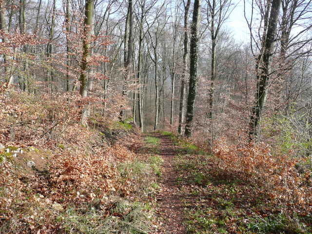
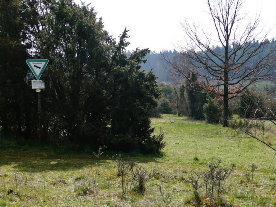
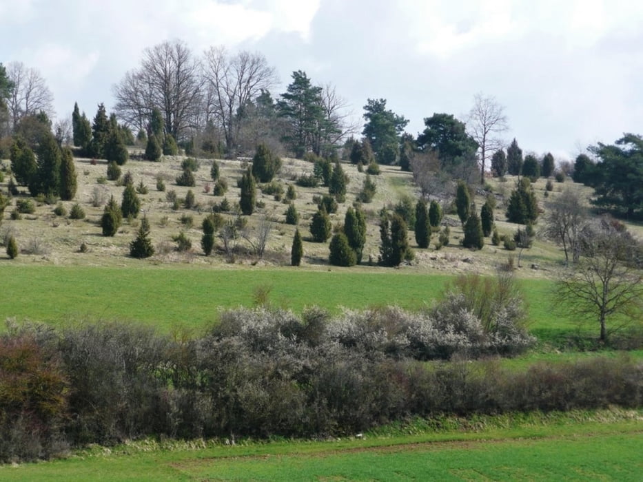
Die Tour geht rund um Aidlingen auf Feld- und Waldwegen. Die Dörfer werden vermieden. Singletrails sind in der Tour enthalten. Einige Naturschutzgebiete und Naturdenkmäler werden durchfahren.
Gestartet wird in Dagersheim. Über Darmsheim geht es nach Lehenweiler. Nach dem Venusberg geht es abwärts nach Dätzingen. Anschließend wird Ostelsheim umfahren, bis Gechingen erreicht wird. Nach Dachtel geht es wieder auf die Hochebene um anschließend südlich Aidlingen zu umfahren.
Further information at
http://www.heckengaeu-natur-nah.deTour gallery
Tour map and elevation profile
Minimum height 409 m
Maximum height 587 m
More about the tour author
|
|
MatthiasBy |
Comments
Autobahn A81, Ausfahrt Böblingen-Hulb
oder
S-Bahn: Haltestelle Böblingen Hulb www.vvs.de/
und dann nach Dagersheim
oder
S-Bahn: Haltestelle Böblingen Hulb www.vvs.de/
und dann nach Dagersheim
GPS tracks
Trackpoints-
GPX / Garmin Map Source (gpx) download
-
TCX / Garmin Training Center® (tcx) download
-
CRS / Garmin Training Center® (crs) download
-
Google Earth (kml) download
-
G7ToWin (g7t) download
-
TTQV (trk) download
-
Overlay (ovl) download
-
Fugawi (txt) download
-
Kompass (DAV) Track (tk) download
-
Track data sheet (pdf) download
-
Original file of the author (gpx) download
More about the tour author
|
|
MatthiasBy |
Add to my favorites
Remove from my favorites
Edit tags
Open track
My score
Rate
Rund um Aidlingen