

Die Tour führt von Döffingen (Schlittenberg) am Waldrand nach Aidlingen und von dort weiter nach Ehningen. In Ehningen geht es zunächst auf einem langweiligen Asphalt-Feldweg vorbei an der IBM, bevor die Tour dann auf einer Forstautobahn weiter ins Schönbuch geht. Im Schönbuch wechseln sich Forstwege, ein kleiner Trail sowie Wanderwege ab.
irgendwann landet man dann wieder in Ehningen. Von dort geht es durch den Wald (Aidlinger Schwestern) zurück nach Döffingen.
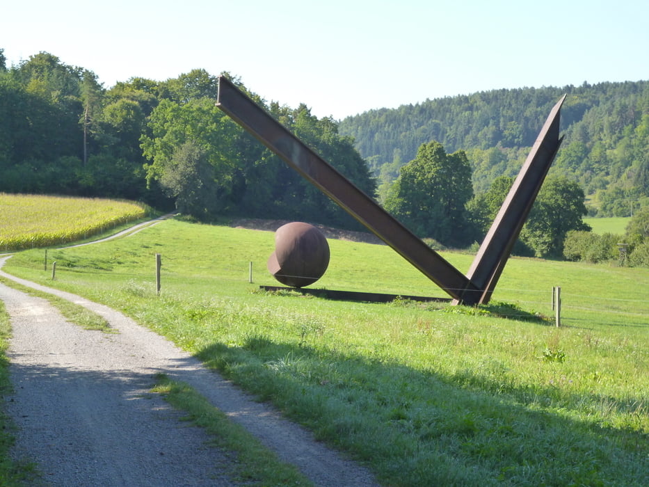
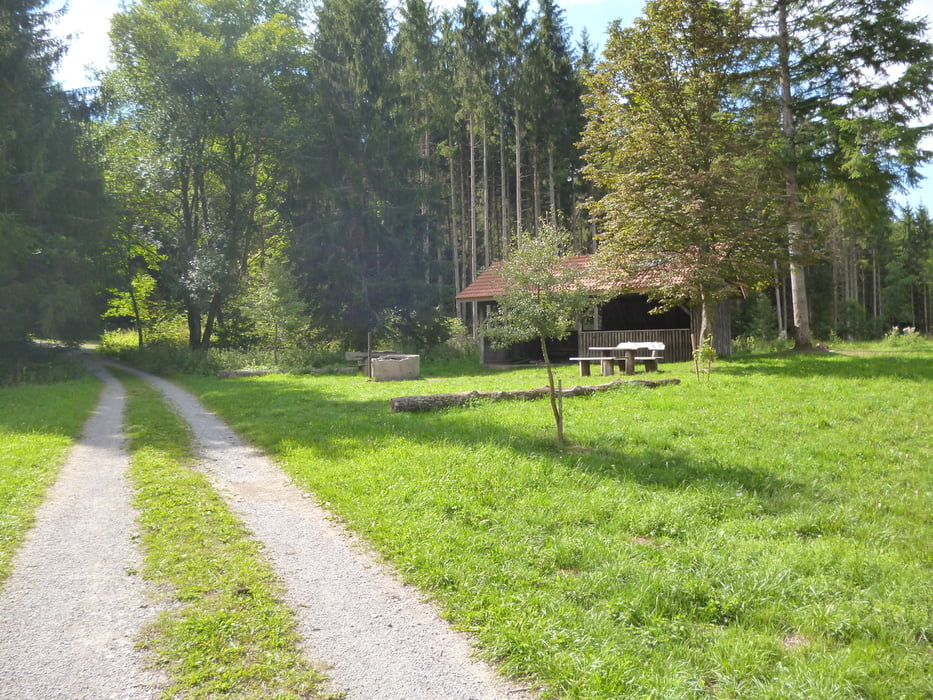
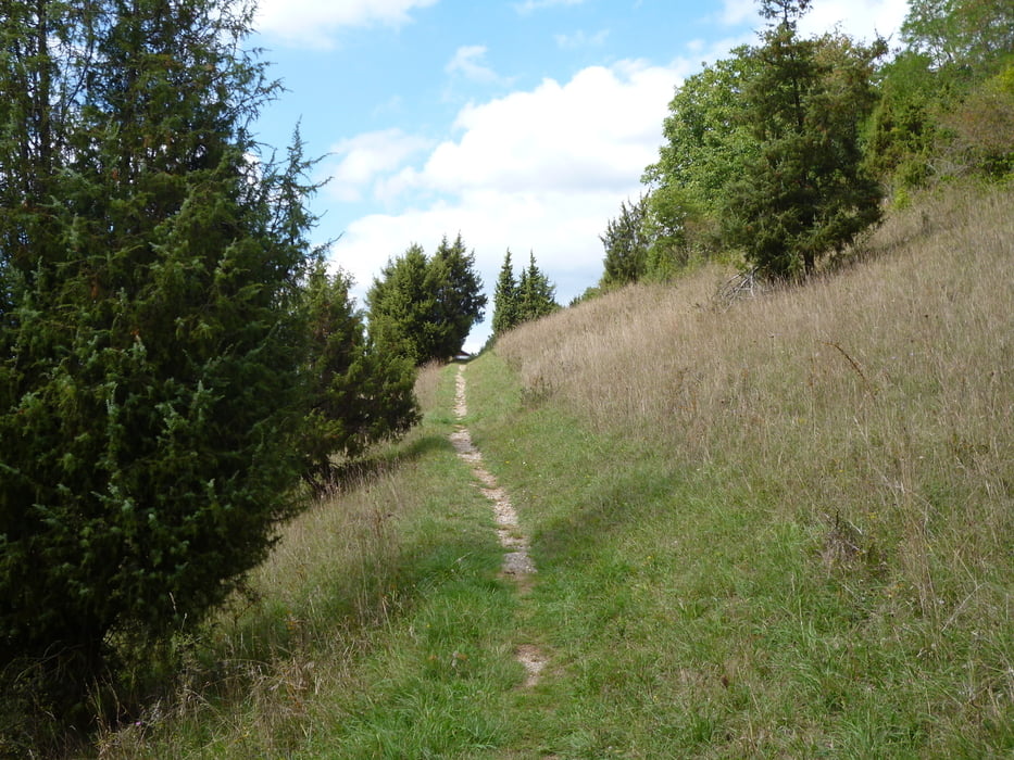
Tour gallery


Tour map and elevation profile
Minimum height 401 m
Maximum height 582 m
More about the tour author

|
java1007 |
Comments

Parken beim Edeka möglich.
GPS tracks
Trackpoints-
GPX / Garmin Map Source (gpx) download
-
TCX / Garmin Training Center® (tcx) download
-
CRS / Garmin Training Center® (crs) download
-
Google Earth (kml) download
-
G7ToWin (g7t) download
-
TTQV (trk) download
-
Overlay (ovl) download
-
Fugawi (txt) download
-
Kompass (DAV) Track (tk) download
-
Track data sheet (pdf) download
-
Original file of the author (gpx) download
More about the tour author
|
|
java1007 |
Add to my favorites
Remove from my favorites
Edit tags
Open track
My score
Rate