


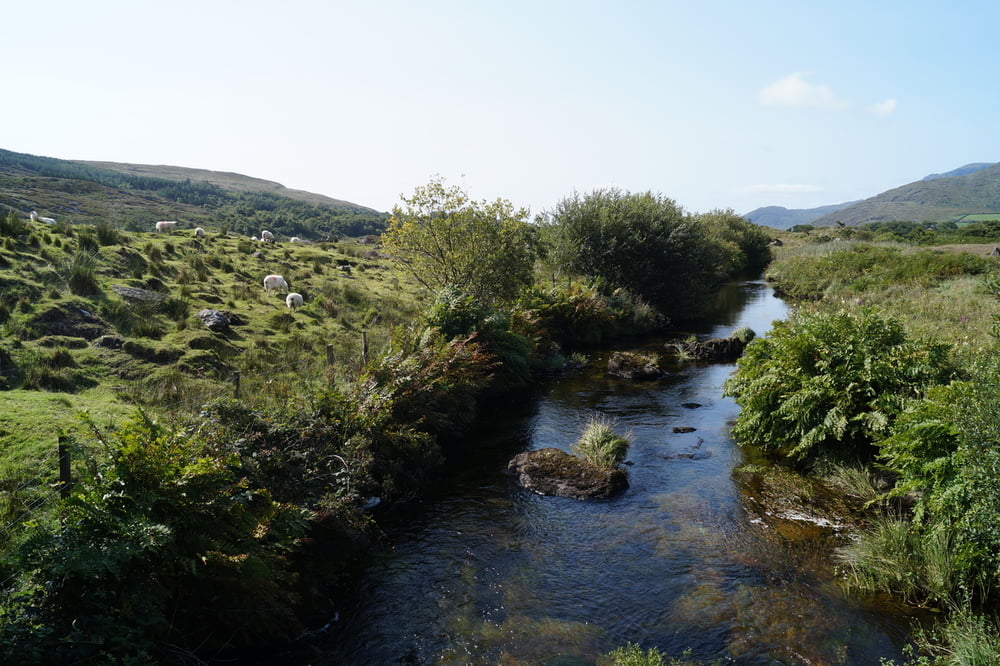
Eigentlich sollte die Runde ein ausgeschilderter Loop walk sein. Schilder gab es auf dem ganzen Weg insgesamt drei. Aber unter Mithilfe einiger sehr freundlicher Farmer, die uns sagten, dass der Weg wegen mangelnder Benutzung aufgegeben wurde haben wir trotzdem einen schönen Weg durch eine gänzlich untouristische Ecke Irlands gefunden. Wer einen Blick auf das ländliche Irland mit Schafweiden, alten und noch benutzten Torffeldern werfen möchte und hierbei auch noch gerne für sich ist kommt auf jeden Fall auf seine Kosten.
Ausgangspunkt ist ein Parkplatz an einem kleinen Friedhof, den man von einer Abzweigung der Straße von Adrigole Richtung Healy Pass erreicht.
Tour gallery

Tour map and elevation profile
Minimum height 27 m
Maximum height 108 m
More about the tour author
|
|
sstraesser |
Comments

GPS tracks
Trackpoints-
GPX / Garmin Map Source (gpx) download
-
TCX / Garmin Training Center® (tcx) download
-
CRS / Garmin Training Center® (crs) download
-
Google Earth (kml) download
-
G7ToWin (g7t) download
-
TTQV (trk) download
-
Overlay (ovl) download
-
Fugawi (txt) download
-
Kompass (DAV) Track (tk) download
-
Track data sheet (pdf) download
-
Original file of the author (gpx) download
More about the tour author
|
|
sstraesser |
Add to my favorites
Remove from my favorites
Edit tags
Open track
My score
Rate