


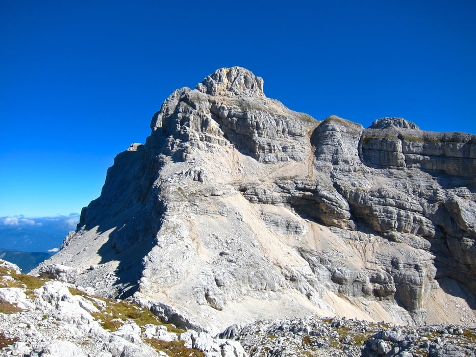
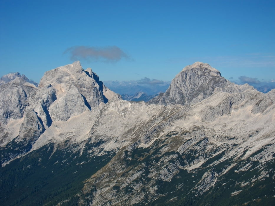
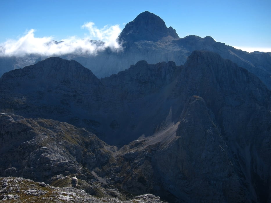
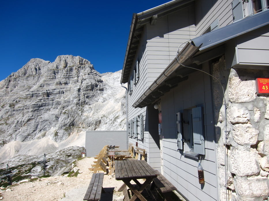
Seguendo da Bovec la val Trenta, si arriva ad un secco tornante, poco dopo Trenta, qui si parcheggia. Seguendo la valle Zadnjia sino a q. 700 circa, sulla sx parte il sentiero che dopo 4 ore arriva al dom Pogacnikov. Ora seguendo le indicazioni "razor", si sale su sfasciumi sino alla sella fra il Razor e il Planja, si segue la traccia che si diparte a sx. Quindi per semplici roccette in 20' si è sulla panoramica cima.
Further information at
http://www.hribi.net/gora/planja/1/423Tour gallery
Tour map and elevation profile
Minimum height 99999 m
Maximum height -99999 m
More about the tour author
|
|
sioni |
Comments

Al bivio dopo Bovec, invece di seguire le indicazioni per passo Predil, prendere a destra per la Val Trenta, sino ad arrivare all'omonimo paesino. Oltrepassarlo sino al primo secco tornante e scendere a destra su una stradina bianca, dove si parcheggia. Provenendo da Kranska Gora, oltrepassare il passo del Verscic e scendere sino al tornante poco prima di Trenta.
GPS tracks
Trackpoints-
GPX / Garmin Map Source (gpx) download
-
TCX / Garmin Training Center® (tcx) download
-
CRS / Garmin Training Center® (crs) download
-
Google Earth (kml) download
-
G7ToWin (g7t) download
-
TTQV (trk) download
-
Overlay (ovl) download
-
Fugawi (txt) download
-
Kompass (DAV) Track (tk) download
-
Track data sheet (pdf) download
-
Original file of the author (gpx) download
More about the tour author
|
|
sioni |
Add to my favorites
Remove from my favorites
Edit tags
Open track
My score
Rate