


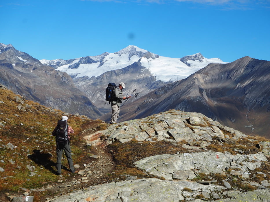
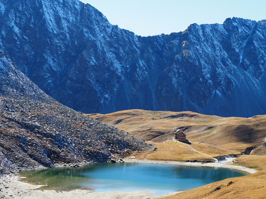
Einer der schönsten Höhenwege der Alpen. Nicht besonders anstrengend, aber mit traumhaften Aussichten.
Further information at
http://www.virgentaler-huetten.atTour gallery
Tour map and elevation profile
Minimum height 957 m
Maximum height 2856 m
More about the tour author

|
klauswurzelseppi |
Comments

Wer mit dem Auto anreist, lässt es am besten in Hinterbichl im Virgental, am Endpunkt der Tour, stehen, fährt mit dem öffentlichen Bus nach Matrei, Haltestelle Ganz-Waier, um von dort noch die drei Stunden auf die Zunigalm aufzusteigen. Man übernachtet dann bereits auf 1.846 m Meereshöhe, was der Aklimatisation gut tut.
GPS tracks
Trackpoints-
GPX / Garmin Map Source (gpx) download
-
TCX / Garmin Training Center® (tcx) download
-
CRS / Garmin Training Center® (crs) download
-
Google Earth (kml) download
-
G7ToWin (g7t) download
-
TTQV (trk) download
-
Overlay (ovl) download
-
Fugawi (txt) download
-
Kompass (DAV) Track (tk) download
-
Track data sheet (pdf) download
-
Original file of the author (gpx) download
More about the tour author
|
|
klauswurzelseppi |
Add to my favorites
Remove from my favorites
Edit tags
Open track
My score
Rate