Login

Forgot your login?

Cookies have to be accepted!
Your browser's cookie functionality is disabled. Please enable this functionality.

Not a member yet?

Register now
Login

Available for registred users only

Log in to use this feature.

Forgot your login?

Cookies have to be accepted!
Your browser's cookie functionality is disabled. Please enable this functionality.

Not a member yet?

Register now
Filter
Categories
Advanced filters
  • Distance (km)
  • Height
Save filters Reset filter

TrackRank

QRCode

Technical data

Distance5,8 km Height187 m Way down182 m Duration00:40 h:m Date10.10.2015
Scores Author Landscape Fun factor Fitness Technique

Statistics

233 Views Scores 14 Downloads Average
Rate
  • Track data sheet
  • Directions
  • Downloads
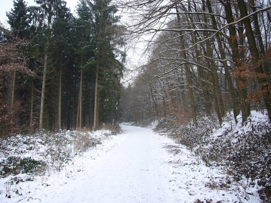
Kleine Laufrunde durch den Königsforst mit wenig Steigung. Entlang der alten Bahntrasse an Forsbach vorbei und über Kleineichen wieder zurück .

Further information at

https://de.wikipedia.org/wiki/R%C3%B6srath

Tour map and elevation profile

  • Open Street Map
  • Google
Minimum height 95 m Maximum height 163 m Detailed view

More about the tour author

grenz-pfad-fahrer
Member since 2009

Send private message

Comments

Parken im Lärchenweg Ecke Gerottener Weg.

GPS tracks

Trackpoints
  • GPX / Garmin Map Source (gpx) download
  • TCX / Garmin Training Center® (tcx) download
  • CRS / Garmin Training Center® (crs) download
  • Google Earth (kml) download
  • G7ToWin (g7t) download
  • TTQV (trk) download
  • Overlay (ovl) download
  • Fugawi (txt) download
  • Kompass (DAV) Track (tk) download
  • Track data sheet (pdf) download
  • Original file of the author (gpx) download

More about the tour author

grenz-pfad-fahrer
Member since 2009

Send private message
Share track
Add to my favorites
Remove from my favorites
Edit tags
My score
Rate
Track: Kleine Königsforstrunde
Type: Running
Distance: 5,8 km
Evaluated on:
Duration:
Day(s)
Hour(s)
Minute(s)
Score: Landscape Fun factor Fitness Technique