

Tag 2: Etappe 02 Vilaflor - Santa Cruz
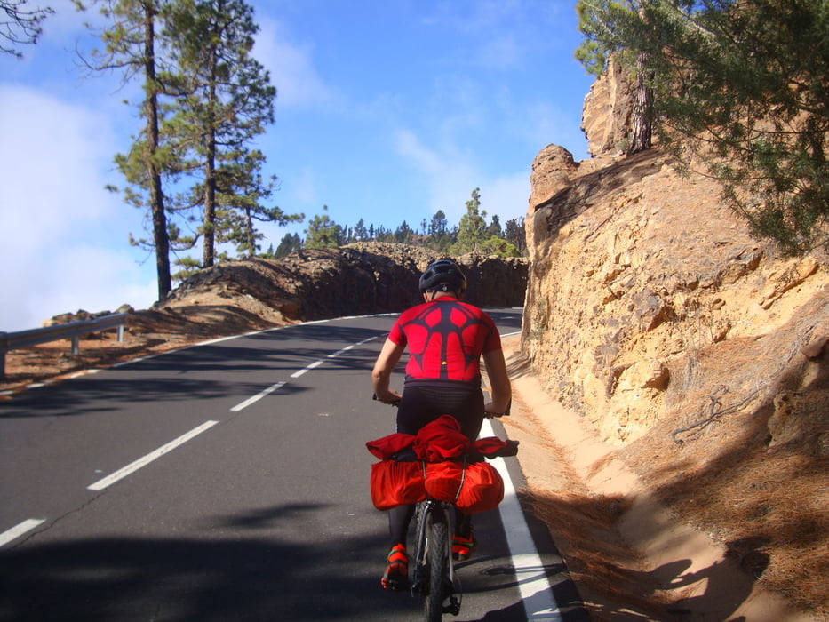
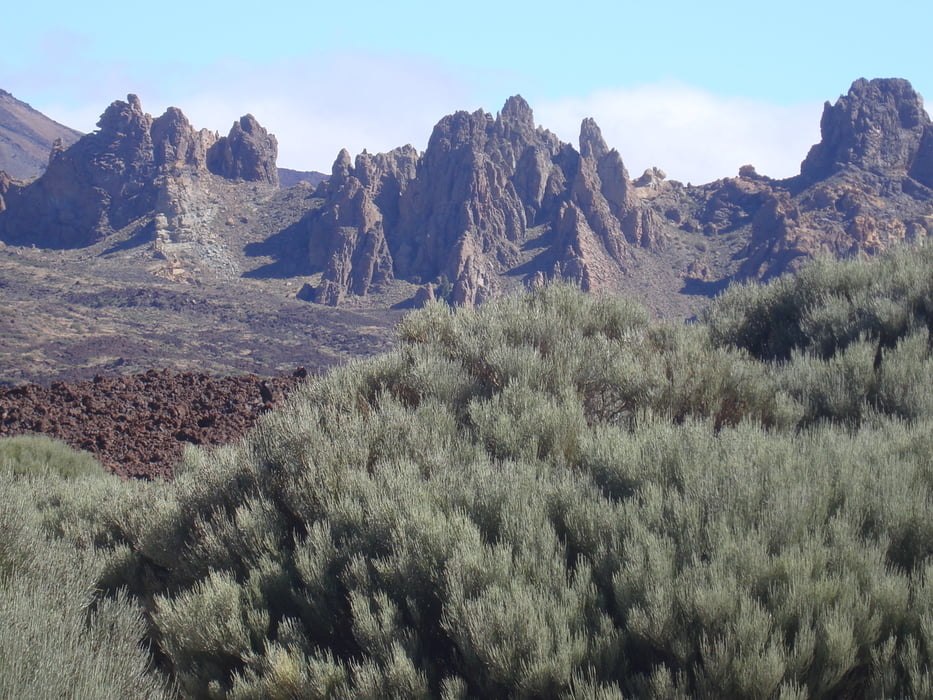
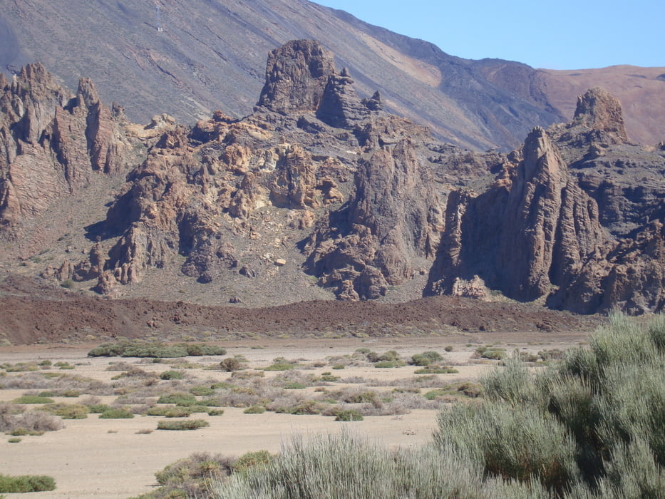
Wir fahren über die verkehrsarme und schöne TF 21 in den NP del Teide. Es ist Montag und es gibt beinahe keinen Verkehr quer durch den NP. Die Straße führt unterhalb des Vulkans vorbei. Das Hochplateau ist eine gigantische und imposante vulkanische Mondlandschaft. Am Ausgang des NP beginnt das Wetter zu kippen (Nebel, Kälte, z.T. Regen). Weiter über die noch einsamere TF 24. Die Sicht ist extrem eingeschränkt (z.T. nur 4 - 5 Meter). Wir treffen auf niemanden! In La Esperanza wärmen wir uns etwas auf und essen etwas. Weiter über eine kleine Asphaltstraße fahren wir zum Fährhafen von Santa Cruz und nehmen die Fähre nach Lanzarote. Auf dieser Tour bekommt man einen sehr guten Einblick in den NP del Teide.
Tour gallery
Tour map and elevation profile
Minimum height 28 m
Maximum height 2297 m
More about the tour author
|
|
Markbeate |
Comments

Wir waren 3 Wochen - von Ende September bis Mitte Oktober 2015 - mit unseren MTB´s (Hardtails) auf 4 Kanarische Inseln unterwegs (Teneriffa, Lanzarote, La Graciosa und La Gomera).
GPS tracks
Trackpoints-
GPX / Garmin Map Source (gpx) download
-
TCX / Garmin Training Center® (tcx) download
-
CRS / Garmin Training Center® (crs) download
-
Google Earth (kml) download
-
G7ToWin (g7t) download
-
TTQV (trk) download
-
Overlay (ovl) download
-
Fugawi (txt) download
-
Kompass (DAV) Track (tk) download
-
Track data sheet (pdf) download
-
Original file of the author (gpx) download
More about the tour author
|
|
Markbeate |
Add to my favorites
Remove from my favorites
Edit tags
Open track
My score
Rate