Login

Forgot your login?

Cookies have to be accepted!
Your browser's cookie functionality is disabled. Please enable this functionality.

Not a member yet?

Register now
Login

Available for registred users only

Log in to use this feature.

Forgot your login?

Cookies have to be accepted!
Your browser's cookie functionality is disabled. Please enable this functionality.

Not a member yet?

Register now
Filter
Categories
Advanced filters
  • Distance (km)
  • Height
Save filters Reset filter

TrackRank

QRCode

Technical data

Distance28,6 km Height582 m Way down535 m Duration01:45 h:m Date25.10.2015
Scores Author User Landscape Fun factor Fitness Technique

Statistics

713 Views Scores 52 Downloads Average
Rate
  • Track data sheet
  • Directions
  • Downloads

Bei Guter Technik und trockenem Untergrund Fahrbar sonst schieben.
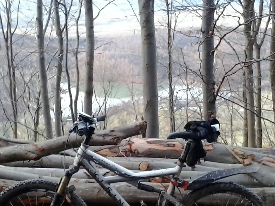
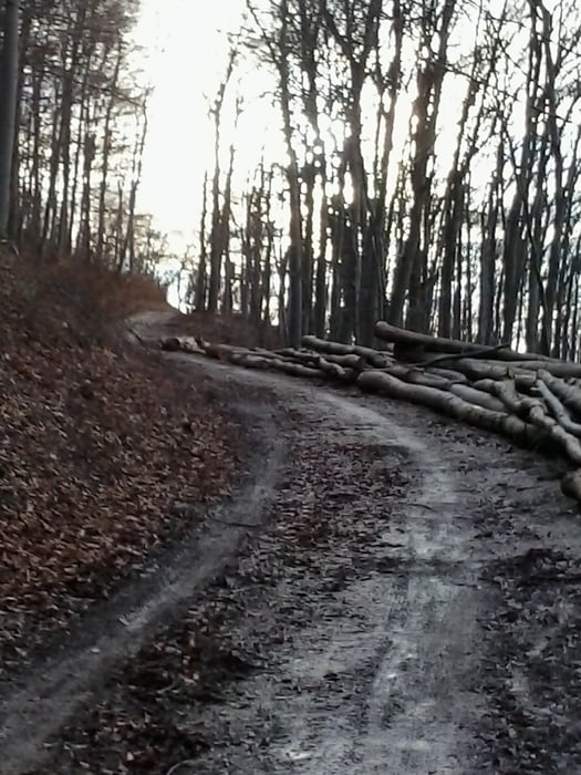
 

Tour gallery

Tour map and elevation profile

  • Open Street Map
  • Google
Minimum height 306 m Maximum height 746 m Detailed view

More about the tour author

Cokedealer
Member since 2013

Send private message

Comments

Über Dettingen den Kirschenweg zu Rossfeldsteige dann den Weg zum Oberen Stausee dann über den Parkplatz der Eninger Weide zur Teufelsschlucht.Abfahrt endet in Eningen/Achalm am Freibad.Über Glems zurück nach Metzingen.


GPS tracks

Trackpoints
  • GPX / Garmin Map Source (gpx) download
  • TCX / Garmin Training Center® (tcx) download
  • CRS / Garmin Training Center® (crs) download
  • Google Earth (kml) download
  • G7ToWin (g7t) download
  • TTQV (trk) download
  • Overlay (ovl) download
  • Fugawi (txt) download
  • Kompass (DAV) Track (tk) download
  • Track data sheet (pdf) download
  • Original file of the author (gpx) download

More about the tour author

Cokedealer
Member since 2013

Send private message
Share track
Add to my favorites
Remove from my favorites
Edit tags
My score
Rate
Track: Teufelsschlucht
Type: Mountain bike
Distance: 28,6 km
Evaluated on:
Duration:
Day(s)
Hour(s)
Minute(s)
Score: Landscape Fun factor Fitness Technique