


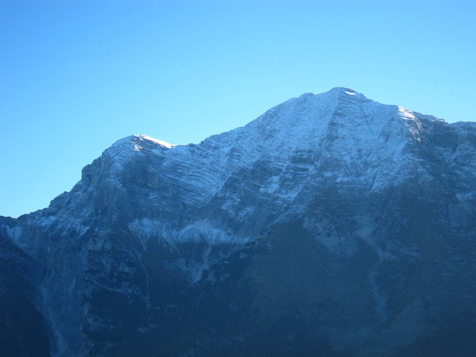
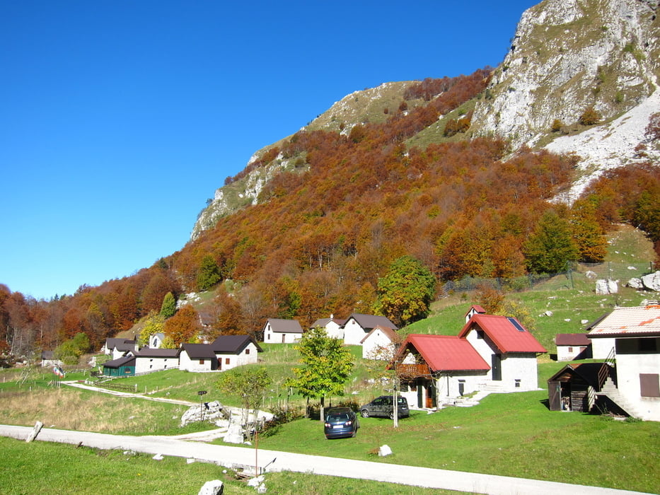
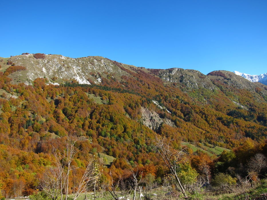
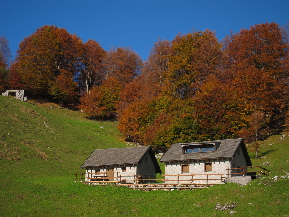
Partendo dal paese di Uccea,(parcheggio dopo una curva passato il bivio x il paese) si sale ripidi per sentiero 732 sino al p.sso Pradolina. Dal passo si può seguire il sentiero 731 sino alla cima Nische oppure come da itinerario salire tutte le cime del crinale, Chila 1419 Stregone 1470 e Nische 1454, semplici salite. Poi si scende a sella Carnizza 1070 per poi seguire, lungamente, il sentiero 739 sino alla c.ra Nishiuarch. Dalla casera rientro per sentiero 514 per un bellissimo bosco di faggi.
Further information at
http://www.sentierinatura.it/easyne2/LYT.aspx?Code=SentieriNatura&IDLYT=1349&ST=SQL&SQL=ID_Documento=1820Tour gallery
Tour map and elevation profile
Minimum height 99999 m
Maximum height -99999 m
More about the tour author
|
|
sioni |
Comments

dalla statale 13 per Carnia-Tarvisio, all'altezza di Resiutta seguire le indicazioni per Resia e poi sella Carnizza, e scendere ad Uccea.
Da Tarcento seguire lungamente le indicazioni Vedronza o Slovenia. Passato il passo Tanamea, scendere sino al primo bivio indicazioni Uccea Passo Carnizza.
GPS tracks
Trackpoints-
GPX / Garmin Map Source (gpx) download
-
TCX / Garmin Training Center® (tcx) download
-
CRS / Garmin Training Center® (crs) download
-
Google Earth (kml) download
-
G7ToWin (g7t) download
-
TTQV (trk) download
-
Overlay (ovl) download
-
Fugawi (txt) download
-
Kompass (DAV) Track (tk) download
-
Track data sheet (pdf) download
-
Original file of the author (gpx) download
More about the tour author
|
|
sioni |
Add to my favorites
Remove from my favorites
Edit tags
Open track
My score
Rate