


Vom Parkplatz an der Schleuse in Faulbach über den Mainradweg in Richtung Stadtprozelten, dann über den Höhenweg zur Burg und weiter auf dem Spessartweg 2. An der Kreuzung mit dem Eselsweg, diesem weiter folgen bis in die Nähe der Autobahnabfahrt Rohrbrunn, dann durch Haselbachtal in Richtung Kartause und dann über Sandacker und Breitenbrunn wieder zurück auf den Mainradweg.
Further information at
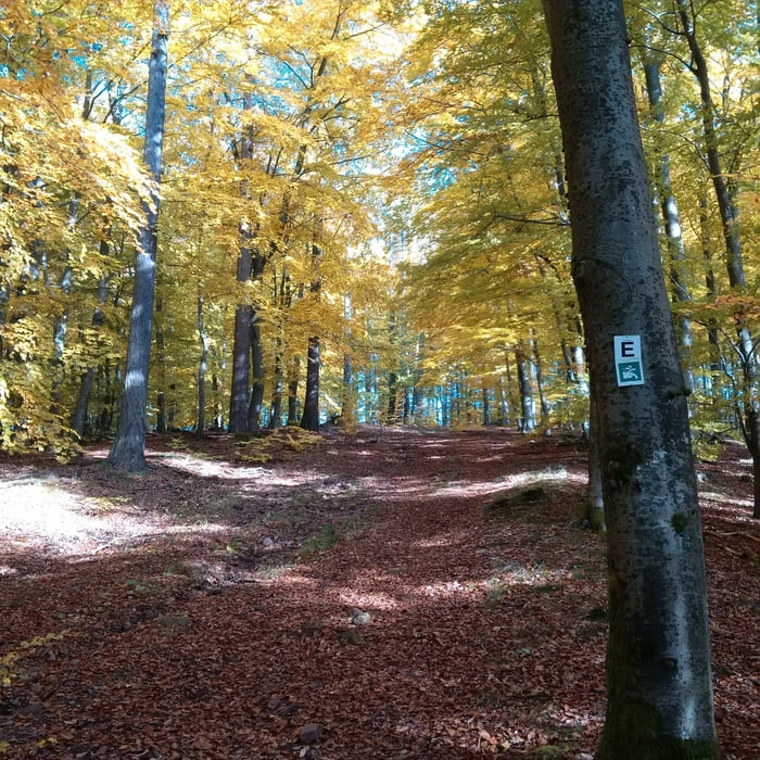
http://www.spessartweg.de/Tour gallery
Tour map and elevation profile
Minimum height 127 m
Maximum height 507 m
More about the tour author

|
grenz-pfad-fahrer |
Comments

Startpunkt ist der Parkplatz an der Schleuse in Faulbach.
GPS tracks
Trackpoints-
GPX / Garmin Map Source (gpx) download
-
TCX / Garmin Training Center® (tcx) download
-
CRS / Garmin Training Center® (crs) download
-
Google Earth (kml) download
-
G7ToWin (g7t) download
-
TTQV (trk) download
-
Overlay (ovl) download
-
Fugawi (txt) download
-
Kompass (DAV) Track (tk) download
-
Track data sheet (pdf) download
-
Original file of the author (gpx) download
More about the tour author
|
|
grenz-pfad-fahrer |
Add to my favorites
Remove from my favorites
Edit tags
Open track
My score
Rate